Holma night lights from space
Night Light of Holma (Adamawa) from space (Nigeria) Src. Average luminocity for 10x10km area is 0% and for 50x50km: 0%.
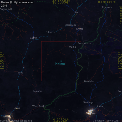
Analysis of Holma night lights 2016
Square area 10x10 km:
100  0%
0%
90-99 0%
80-89 0%
70-79 0%
60-69 0%
50-59 0%
40-49 0%
30-39 0%
20-29 0%
10-19 0%
0-9 100%
0%90-99
0%80-89
0%70-79
0%60-69
0%50-59
0%40-49
0%30-39
0%20-29
0%10-19
0%0-9
100%Square area 50x50 km:
100 0%
90-99 0%
80-89 0%
70-79 0%
60-69 0%
50-59 0%
40-49 0%
30-39 0%
20-29 0%
10-19 0%
0-9 100%
0%90-99
0%80-89
0%70-79
0%60-69
0%50-59
0%40-49
0%30-39
0%20-29
0%10-19
0%0-9
100%Clear (daylight) street map image can be seen on geolist.org.
Map coordinates:
10° 35' 25.9" North, 12° 21' 5" East
9° 53' 55.1" North, 13° 3' 16.2" East
9° 12' 18.9" North, 13° 45' 27.5" East
Some cities around Holma sort by population:
• Garoua, CM
76.3 km =47.4 mi,  150°
150°
• Jimeta
94.9 km =59 mi,  223°
223°
• Mubi
47.3 km =29.4 mi,  29°
29°
• Yola
99.2 km =61.6 mi, 219°
• Guider, CM
97.8 km =60.8 mi,  87°
87°
• Gombi
45.9 km =28.5 mi,  310°
310°
• Uba
64.5 km =40.1 mi,  16°
16°
• Pitoa, CM
75.4 km =46.9 mi,  139°
139°
2339468 (p: 9,199)
Sources (retrieved 2019-11-25):
» Earth at Night: Flat Maps 2012, 2016