Mallammaduri night lights from space
Night Light of Mallammaduri (Jigawa) from space (Nigeria) Src. Average luminocity for 10x10km area is 0% and for 50x50km: 0.6139%.
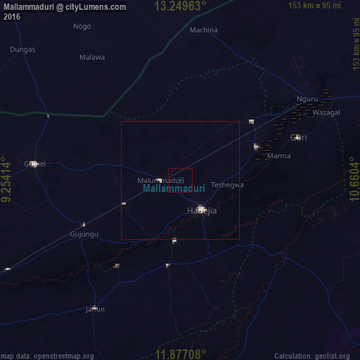
Analysis of Mallammaduri night lights 2016
Square area 10x10 km:
 0%
0%90-99
0%80-89
0%70-79
0%60-69
0%50-59
0%40-49
0%30-39
0%20-29
0%10-19
0%0-9
100%Square area 50x50 km:
0.05%90-99
0.21%80-89
0.04%70-79
0.03%60-69
0.1%50-59
0%40-49
0.14%30-39
0.13%20-29
0%10-19
0.09%0-9
99.19%Clear (daylight) street map image can be seen on geolist.org.
Map coordinates:
13° 14' 58.7" North, 9° 15' 14.9" East
12° 33' 51.4" North, 9° 57' 26.2" East
11° 52' 37.5" North, 10° 39' 37.4" East
Some cities around Mallammaduri sort by population:
• Nguru
64.2 km =39.9 mi,  57°
57°
• Hadejia
15.3 km =9.5 mi,  143°
143°
• Gumel
62.2 km =38.6 mi,  276°
276°
• Kafin Hausa
36.5 km =22.7 mi,  187°
187°
• Machina
64.4 km =40 mi,  8°
8°
• Gagarawa
49.6 km =30.8 mi,  249°
249°
• Katagum
52.8 km =32.8 mi,  126°
126°
• Birniwa
39.4 km =24.5 mi,  50°
50°
2331037 (p: 11,156)
Sources (retrieved 2019-11-25):
» Earth at Night: Flat Maps 2012, 2016