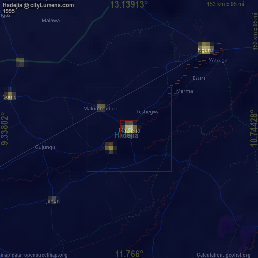
Hadejia night lights from space
Night Light of Hadejia (Jigawa) from space (Nigeria) Src. Average luminocity for 10x10km area is 9.9587% and for 50x50km: 0.7226%.
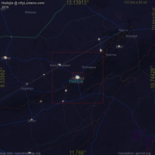
Analysis of Hadejia night lights 2016
Square area 10x10 km:
 1.24%
1.24%90-99
3.72%80-89
0%70-79
0%60-69
1.65%50-59
0%40-49
3.31%30-39
1.65%20-29
0%10-19
1.45%0-9
86.98%Square area 50x50 km:
0.08%90-99
0.24%80-89
0.08%70-79
0%60-69
0.07%50-59
0%40-49
0.21%30-39
0.19%20-29
0%10-19
0.09%0-9
99.03%Clear (daylight) street map image can be seen on geolist.org.
Map coordinates:
13° 8' 20.9" North, 9° 20' 16.9" East
12° 27' 12.5" North, 10° 2' 28.1" East
11° 45' 57.6" North, 10° 44' 39.4" East
Some cities around Hadejia sort by population:
• Nguru
65.1 km =40.5 mi,  43°
43°
• Gumel
73.5 km =45.7 mi,  285°
285°
• Gamawa
64.6 km =40.1 mi,  123°
123°
• Kafin Hausa
27.7 km =17.2 mi,  210°
210°
• Gagarawa
55.9 km =34.7 mi,  264°
264°
• Mallammaduri
15.3 km =9.5 mi,  323°
323°
• Katagum
38.4 km =23.9 mi, 119°
• Birniwa
43.1 km =26.8 mi,  29°
29°
2339631 (p: 110,753)
Sources (retrieved 2019-11-25):
» NASA, Earths city lights 1995
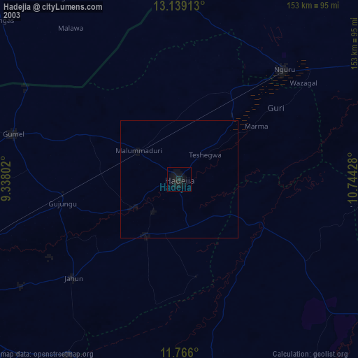
» NASA city lights 2003
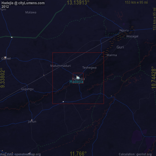
» Earth at Night: Flat Maps 2012, 2016