Machina night lights from space
Night Light of Machina (Yobe) from space (Nigeria) Src. Average luminocity for 10x10km area is 0% and for 50x50km: 0%.
Analysis of Machina night lights 2016
Square area 10x10 km:
100  0%
0%
90-99 0%
80-89 0%
70-79 0%
60-69 0%
50-59 0%
40-49 0%
30-39 0%
20-29 0%
10-19 0%
0-9 100%
0%90-99
0%80-89
0%70-79
0%60-69
0%50-59
0%40-49
0%30-39
0%20-29
0%10-19
0%0-9
100%Square area 50x50 km:
100 0%
90-99 0%
80-89 0%
70-79 0%
60-69 0%
50-59 0%
40-49 0%
30-39 0%
20-29 0%
10-19 0%
0-9 100%
0%90-99
0%80-89
0%70-79
0%60-69
0%50-59
0%40-49
0%30-39
0%20-29
0%10-19
0%0-9
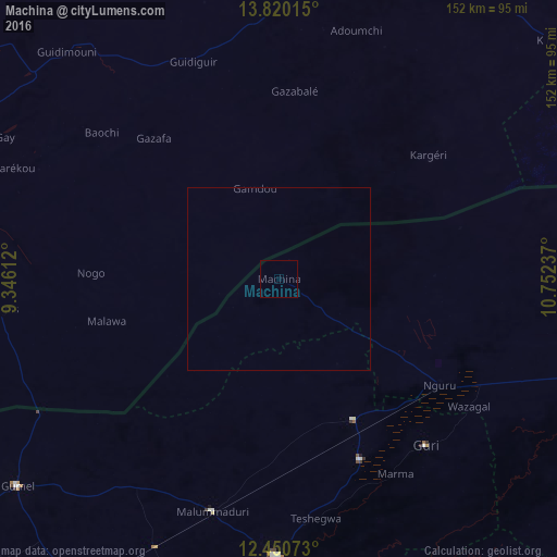
100%Clear (daylight) street map image can be seen on geolist.org.
Map coordinates:
13° 49' 12.5" North, 9° 20' 46" East
13° 8' 11" North, 10° 2' 57.3" East
12° 27' 2.6" North, 10° 45' 8.5" East
Some cities around Machina sort by population:
• Nguru
52.6 km =32.7 mi,  123°
123°
• Hadejia
75.9 km =47.2 mi,  180°
180°
• Gumel
91.4 km =56.8 mi,  231°
231°
• Kumagunnam
63.4 km =39.4 mi,  88°
88°
• Gouré, NE
97.2 km =60.4 mi,  14°
14°
• Gorgoram
90 km =55.9 mi,  127°
127°
• Mallammaduri
64.4 km =40 mi,  188°
188°
• Birniwa
43.4 km =27 mi,  152°
152°
2330589 (p: 11,707)
Sources (retrieved 2019-11-25):
» Earth at Night: Flat Maps 2012, 2016