Kafin Hausa night lights from space
Night Light of Kafin Hausa (Jigawa) from space (Nigeria) Src. Average luminocity for 10x10km area is 1.4938% and for 50x50km: 0.6024%.
Analysis of Kafin Hausa night lights 2016
Square area 10x10 km:
 0%
0%90-99
0%80-89
0.83%70-79
0%60-69
0%50-59
0%40-49
1.24%30-39
0.41%20-29
0%10-19
0%0-9
97.52%Square area 50x50 km:
0.08%90-99
0.19%80-89
0.03%70-79
0%60-69
0.1%50-59
0%40-49
0.21%30-39
0.16%20-29
0.03%10-19
0.09%0-9
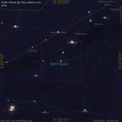
99.1%Clear (daylight) street map image can be seen on geolist.org.
Map coordinates:
12° 55' 32" North, 9° 12' 28.5" East
12° 14' 21.6" North, 9° 54' 39.8" East
11° 33' 4.7" North, 10° 36' 51" East
Some cities around Kafin Hausa sort by population:
• Hadejia
27.7 km =17.2 mi,  30°
30°
• Azare
69.8 km =43.4 mi,  154°
154°
• Kiyawa
60.4 km =37.5 mi,  213°
213°
• Gamawa
69.1 km =42.9 mi,  99°
99°
• Gagarawa
45.6 km =28.3 mi,  294°
294°
• Mallammaduri
36.5 km =22.7 mi,  7°
7°
• Katagum
48 km =29.8 mi,  83°
83°
• Birniwa
70.7 km =43.9 mi, 29°
2334649 (p: 12,609)
Sources (retrieved 2019-11-25):
» Earth at Night: Flat Maps 2012, 2016