Gagarawa night lights from space
Night Light of Gagarawa (Jigawa) from space (Nigeria) Src. Average luminocity for 10x10km area is 0.0847% and for 50x50km: 0.371%.
Analysis of Gagarawa night lights 2016
Square area 10x10 km:
 0%
0%90-99
0%80-89
0%70-79
0%60-69
0%50-59
0%40-49
0%30-39
0%20-29
0%10-19
0.41%0-9
99.59%Square area 50x50 km:
0.04%90-99
0.04%80-89
0%70-79
0.09%60-69
0.14%50-59
0%40-49
0.13%30-39
0.02%20-29
0.06%10-19
0.07%0-9
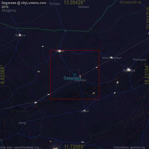
99.41%Clear (daylight) street map image can be seen on geolist.org.
Map coordinates:
13° 5' 39.3" North, 8° 49' 32.4" East
12° 24' 30.5" North, 9° 31' 43.7" East
11° 43' 15.2" North, 10° 13' 55" East
Some cities around Gagarawa sort by population:
• Hadejia
55.9 km =34.7 mi,  84°
84°
• Gumel
28.7 km =17.8 mi,  327°
327°
• Kiyawa
69.9 km =43.4 mi,  173°
173°
• Dutse
75.4 km =46.9 mi,  195°
195°
• Ringim
49 km =30.4 mi,  234°
234°
• Kafin Hausa
45.6 km =28.3 mi,  114°
114°
• Mallammaduri
49.6 km =30.8 mi,  69°
69°
• Babura
68.9 km =42.8 mi,  305°
305°
2342340 (p: 11,450)
Sources (retrieved 2019-11-25):
» Earth at Night: Flat Maps 2012, 2016