Gumel night lights from space
Night Light of Gumel (Jigawa) from space (Nigeria) Src. Average luminocity for 10x10km area is 6.6234% and for 50x50km: 0.4185%.
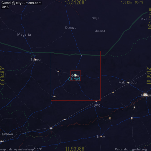
Analysis of Gumel night lights 2016
Square area 10x10 km:
 1.08%
1.08%90-99
1.52%80-89
0%70-79
1.73%60-69
1.73%50-59
0%40-49
0.65%30-39
0.43%20-29
0.65%10-19
0%0-9
92.21%Square area 50x50 km:
0.07%90-99
0.1%80-89
0%70-79
0.07%60-69
0.1%50-59
0.03%40-49
0.05%30-39
0.04%20-29
0.04%10-19
0.03%0-9
99.46%Clear (daylight) street map image can be seen on geolist.org.
Map coordinates:
13° 18' 43.5" North, 8° 41' 5.8" East
12° 37' 36.8" North, 9° 23' 17.1" East
11° 56' 23.6" North, 10° 5' 28.3" East
Some cities around Gumel sort by population:
• Hadejia
73.5 km =45.7 mi,  105°
105°
• Magaria, NE
66.3 km =41.2 mi,  308°
308°
• Ringim
58.3 km =36.2 mi,  204°
204°
• Kafin Hausa
71.3 km =44.3 mi,  127°
127°
• Machina
91.4 km =56.8 mi,  51°
51°
• Gagarawa
28.7 km =17.8 mi,  147°
147°
• Mallammaduri
62.2 km =38.6 mi,  96°
96°
• Babura
43.6 km =27.1 mi,  291°
291°
2340091 (p: 42,742)
Sources (retrieved 2019-11-25):
» Earth at Night: Flat Maps 2012, 2016