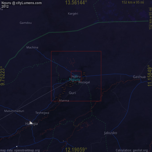
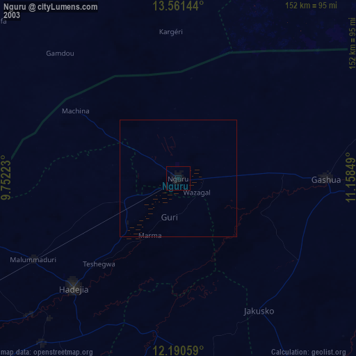
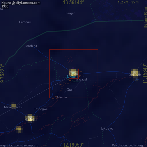
Nguru night lights from space
Night Light of Nguru (Yobe) from space (Nigeria) Src. Average luminocity for 10x10km area is 0% and for 50x50km: 0.3548%.
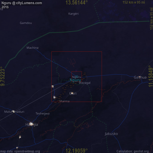
Analysis of Nguru night lights 2016
Square area 10x10 km:
 0%
0%90-99
0%80-89
0%70-79
0%60-69
0%50-59
0%40-49
0%30-39
0%20-29
0%10-19
0%0-9
100%Square area 50x50 km:
0.05%90-99
0.09%80-89
0.03%70-79
0.03%60-69
0%50-59
0.08%40-49
0.07%30-39
0.11%20-29
0.05%10-19
0.03%0-9
99.46%Clear (daylight) street map image can be seen on geolist.org.
Map coordinates:
13° 33' 41.2" North, 9° 45' 8" East
12° 52' 37" North, 10° 27' 19.3" East
12° 11' 26.1" North, 11° 9' 30.6" East
Some cities around Nguru sort by population:
• Gashua
63.4 km =39.4 mi,  90°
90°
• Hadejia
65.1 km =40.5 mi,  223°
223°
• Kumagunnam
36.5 km =22.7 mi,  32°
32°
• Gorgoram
37.7 km =23.4 mi,  134°
134°
• Machina
52.6 km =32.7 mi,  303°
303°
• Mallammaduri
64.2 km =39.9 mi,  237°
237°
• Katagum
66.8 km =41.5 mi,  189°
189°
• Birniwa
25.6 km =15.9 mi,  248°
248°
2328952 (p: 111,014)
Sources (retrieved 2019-11-25):
» NASA, Earths city lights 1995
» NASA city lights 2003
» Earth at Night: Flat Maps 2012, 2016