Birniwa night lights from space
Night Light of Birniwa (Jigawa) from space (Nigeria) Src. Average luminocity for 10x10km area is 2.6797% and for 50x50km: 0.3603%.
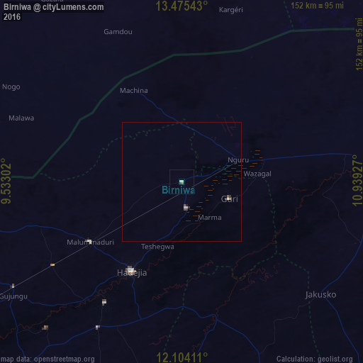
Analysis of Birniwa night lights 2016
Square area 10x10 km:
 0.22%
0.22%90-99
0.87%80-89
0.65%70-79
0%60-69
0%50-59
0.87%40-49
0%30-39
0.87%20-29
0%10-19
0%0-9
96.54%Square area 50x50 km:
0.05%90-99
0.09%80-89
0.03%70-79
0.03%60-69
0%50-59
0.08%40-49
0.07%30-39
0.11%20-29
0.05%10-19
0.03%0-9
99.46%Clear (daylight) street map image can be seen on geolist.org.
Map coordinates:
13° 28' 31.5" North, 9° 31' 58.9" East
12° 47' 26.5" North, 10° 14' 10.1" East
12° 6' 14.8" North, 10° 56' 21.4" East
Some cities around Birniwa sort by population:
• Nguru
25.6 km =15.9 mi,  68°
68°
• Hadejia
43.1 km =26.8 mi,  209°
209°
• Kumagunnam
59.2 km =36.8 mi,  46°
46°
• Kafin Hausa
70.7 km =43.9 mi, 209°
• Gorgoram
53.5 km =33.2 mi,  108°
108°
• Machina
43.4 km =27 mi,  332°
332°
• Mallammaduri
39.4 km =24.5 mi,  230°
230°
• Katagum
57.6 km =35.8 mi,  167°
167°
2347041 (p: 9,334)
Sources (retrieved 2019-11-25):
» Earth at Night: Flat Maps 2012, 2016