Suleja night lights from space
Night Light of Suleja (Niger) from space (Nigeria) Src. Average luminocity for 10x10km area is 16.7078% and for 50x50km: 10.8147%.
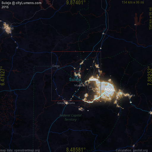
Analysis of Suleja night lights 2016
Square area 10x10 km:
 0%
0%90-99
0.87%80-89
1.52%70-79
2.6%60-69
5.19%50-59
2.38%40-49
4.76%30-39
6.71%20-29
2.81%10-19
3.25%0-9
69.91%Square area 50x50 km:
0.8%90-99
2.4%80-89
1.17%70-79
1.18%60-69
1.25%50-59
1.72%40-49
2.57%30-39
2.23%20-29
3.14%10-19
4.85%0-9
78.68%Clear (daylight) street map image can be seen on geolist.org.
Map coordinates:
9° 52' 26.4" North, 6° 28' 34.6" East
9° 10' 50.1" North, 7° 10' 45.8" East
8° 29' 8.9" North, 7° 52' 57.1" East
Some cities around Suleja sort by population:
• Abuja
37.2 km =23.1 mi,  111°
111°
• Minna
84.5 km =52.5 mi,  304°
304°
• Kuje
33.9 km =21.1 mi,  171°
171°
• Keffi
84.8 km =52.7 mi,  115°
115°
• Lapai
68.5 km =42.6 mi,  257°
257°
• Madala
9.3 km =5.8 mi,  156°
156°
• Buga
78.8 km =49 mi, 166°
• Kwali
37.5 km =23.3 mi,  208°
208°
2322794 (p: 162,135)
Sources (retrieved 2019-11-25):
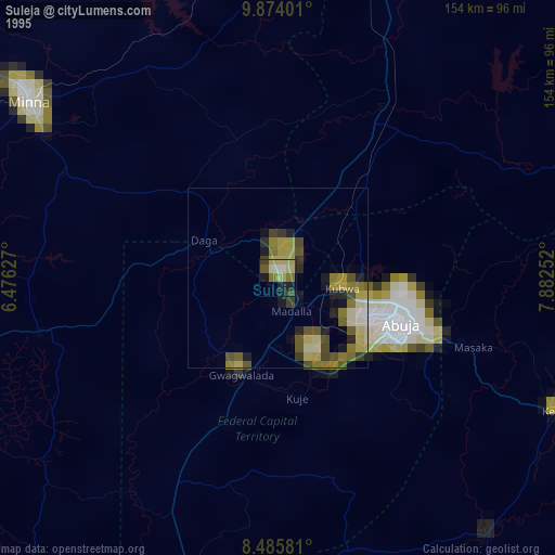
» NASA, Earths city lights 1995
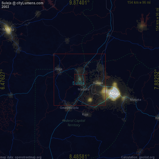
» NASA city lights 2003
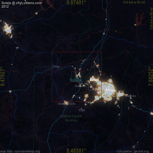
» Earth at Night: Flat Maps 2012, 2016