Kumagunnam night lights from space
Night Light of Kumagunnam (Yobe) from space (Nigeria) Src. Average luminocity for 10x10km area is 0% and for 50x50km: 0%.
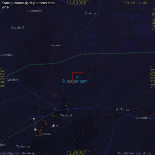
Analysis of Kumagunnam night lights 2016
Square area 10x10 km:
 0%
0%90-99
0%80-89
0%70-79
0%60-69
0%50-59
0%40-49
0%30-39
0%20-29
0%10-19
0%0-9
100%Square area 50x50 km:
0%90-99
0%80-89
0%70-79
0%60-69
0%50-59
0%40-49
0%30-39
0%20-29
0%10-19
0%0-9
100%Clear (daylight) street map image can be seen on geolist.org.
Map coordinates:
13° 50' 19.2" North, 9° 55' 53.6" East
13° 9' 17.9" North, 10° 38' 4.8" East
12° 28' 9.7" North, 11° 20' 16.1" East
Some cities around Kumagunnam sort by population:
• Gashua
53.9 km =33.5 mi,  125°
125°
• Nguru
36.5 km =22.7 mi,  212°
212°
• Gouré, NE
100.2 km =62.3 mi,  336°
336°
• Gorgoram
57.8 km =35.9 mi,  172°
172°
• Machina
63.4 km =39.4 mi,  268°
268°
• Mallammaduri
98.5 km =61.2 mi,  228°
228°
• Birniwa
59.2 km =36.8 mi, 226°
• Gwio Kura
71 km =44.1 mi,  138°
138°
2333490 (p: 16,557)
Sources (retrieved 2019-11-25):
» Earth at Night: Flat Maps 2012, 2016