Gouré night lights from space
Night Light of Gouré (Zinder) from space (Niger) Src. Average luminocity for 10x10km area is 0% and for 50x50km: 0%.
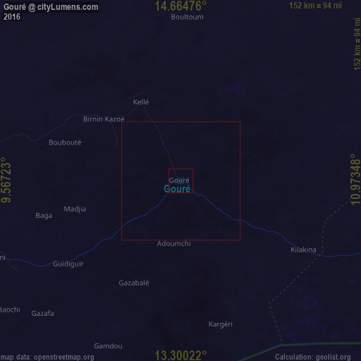
Analysis of Gouré night lights 2016
Square area 10x10 km:
 0%
0%90-99
0%80-89
0%70-79
0%60-69
0%50-59
0%40-49
0%30-39
0%20-29
0%10-19
0%0-9
100%Square area 50x50 km:
0%90-99
0%80-89
0%70-79
0%60-69
0%50-59
0%40-49
0%30-39
0%20-29
0%10-19
0%0-9
100%Clear (daylight) street map image can be seen on geolist.org.
Map coordinates:
14° 39' 53.1" North, 9° 34' 2" East
13° 59' 0.6" North, 10° 16' 13.3" East
13° 18' 0.8" North, 10° 58' 24.5" East
Some cities around Gouré sort by population:
• Zinder
139.8 km =86.9 mi,  261°
261°
• Gashua, NG
148.9 km =92.5 mi,  145°
145°
• Nguru, NG
124.7 km =77.5 mi,  170°
170°
• Mirriah
124.8 km =77.5 mi, 255°
• Kumagunnam, NG
100.2 km =62.3 mi,  156°
156°
• Gorgoram, NG
156.6 km =97.3 mi, 162°
• Machina, NG
97.2 km =60.4 mi,  194°
194°
• Birniwa, NG
132.7 km =82.5 mi,  181°
181°
2444219 (p: 14,639)
Sources (retrieved 2019-11-25):
» Earth at Night: Flat Maps 2012, 2016