Lafiagi night lights from space
Night Light of Lafiagi (Kwara) from space (Nigeria) Src. Average luminocity for 10x10km area is 0% and for 50x50km: 0.0002%.
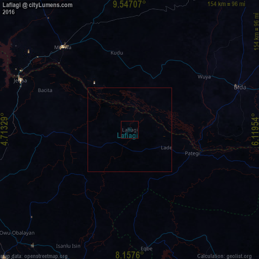
Analysis of Lafiagi night lights 2016
Square area 10x10 km:
 0%
0%90-99
0%80-89
0%70-79
0%60-69
0%50-59
0%40-49
0%30-39
0%20-29
0%10-19
0%0-9
100%Square area 50x50 km:
0%90-99
0%80-89
0%70-79
0%60-69
0%50-59
0%40-49
0%30-39
0%20-29
0%10-19
0%0-9
100%Clear (daylight) street map image can be seen on geolist.org.
Map coordinates:
9° 32' 49.5" North, 4° 42' 47.8" East
8° 51' 10.8" North, 5° 24' 59.1" East
8° 9' 27.4" North, 6° 7' 10.3" East
Some cities around Lafiagi sort by population:
• Bida
69.9 km =43.4 mi,  68°
68°
• Patigi
39.8 km =24.7 mi,  110°
110°
• Jebba
71.5 km =44.4 mi,  294°
294°
• Mokwa
63.2 km =39.3 mi,  321°
321°
• Egbe
71.6 km =44.5 mi,  171°
171°
• Bode Saadu
70.3 km =43.7 mi,  277°
277°
• Isanlu-Itedoijowa
79.1 km =49.2 mi,  144°
144°
• Bokani
68.8 km =42.8 mi,  339°
339°
2332504 (p: 102,779)
Sources (retrieved 2019-11-25):
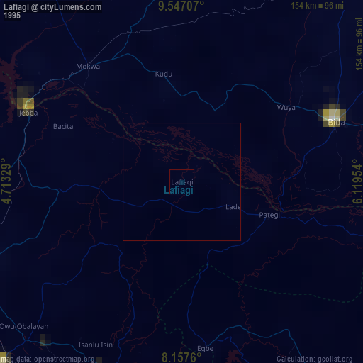
» NASA, Earths city lights 1995
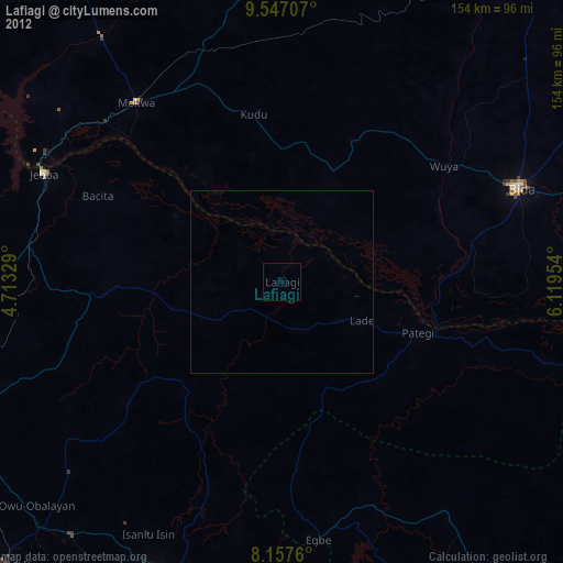
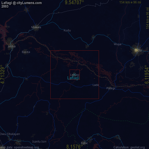
» NASA city lights 2003
» Earth at Night: Flat Maps 2012, 2016