Patigi night lights from space
Night Light of Patigi (Kwara) from space (Nigeria) Src. Average luminocity for 10x10km area is 0% and for 50x50km: 0%.
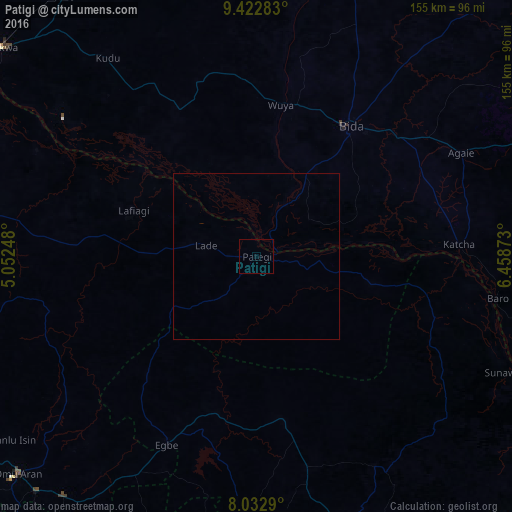
Analysis of Patigi night lights 2016
Square area 10x10 km:
100  0%
0%
90-99 0%
80-89 0%
70-79 0%
60-69 0%
50-59 0%
40-49 0%
30-39 0%
20-29 0%
10-19 0%
0-9 100%
0%90-99
0%80-89
0%70-79
0%60-69
0%50-59
0%40-49
0%30-39
0%20-29
0%10-19
0%0-9
100%Square area 50x50 km:
100 0%
90-99 0%
80-89 0%
70-79 0%
60-69 0%
50-59 0%
40-49 0%
30-39 0%
20-29 0%
10-19 0%
0-9 100%
0%90-99
0%80-89
0%70-79
0%60-69
0%50-59
0%40-49
0%30-39
0%20-29
0%10-19
0%0-9
100%Clear (daylight) street map image can be seen on geolist.org.
Map coordinates:
9° 25' 22.2" North, 5° 3' 8.9" East
8° 43' 42.6" North, 5° 45' 20.2" East
8° 1' 58.4" North, 6° 27' 31.4" East
Some cities around Patigi sort by population:
• Bida
48.1 km =29.9 mi,  35°
35°
• Lafiagi
39.8 km =24.7 mi,  290°
290°
• Baro
73.9 km =45.9 mi,  99°
99°
• Egbe
62.7 km =39 mi,  204°
204°
• Lapai
96.2 km =59.8 mi,  68°
68°
• Isanlu-Itedoijowa
51.2 km =31.8 mi,  170°
170°
• Agaie
69.2 km =43 mi,  63°
63°
• Badeggi
56 km =34.8 mi,  49°
49°
2324960 (p: 28,285)
Sources (retrieved 2019-11-25):
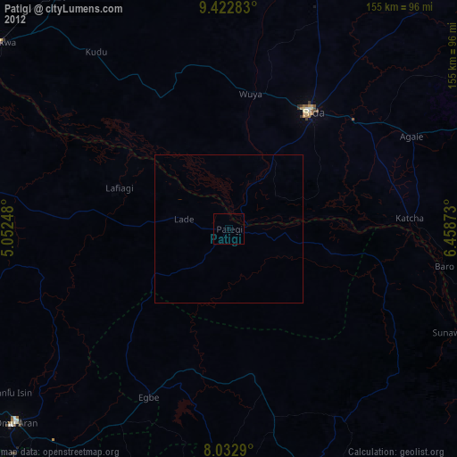
» Earth at Night: Flat Maps 2012, 2016