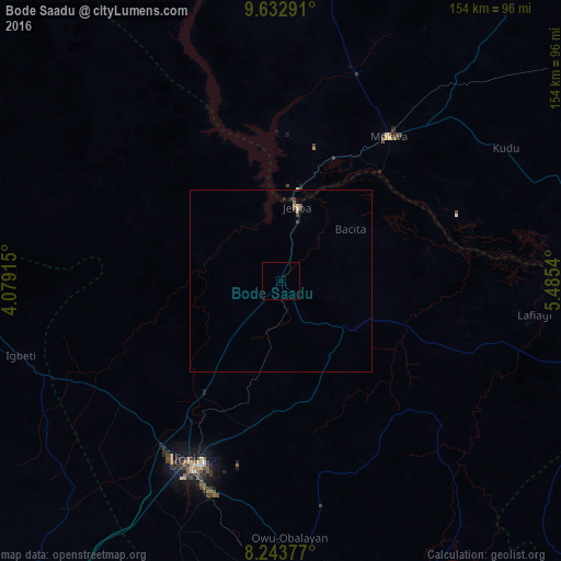
Bode Saadu night lights from space
Night Light of Bode Saadu (Kwara) from space (Nigeria) Src. Average luminocity for 10x10km area is 0% and for 50x50km: 0.2689%.
Analysis of Bode Saadu night lights 2016
Square area 10x10 km:
 0%
0%90-99
0%80-89
0%70-79
0%60-69
0%50-59
0%40-49
0%30-39
0%20-29
0%10-19
0%0-9
100%Square area 50x50 km:
0.01%90-99
0.03%80-89
0.03%70-79
0.03%60-69
0.02%50-59
0.05%40-49
0.08%30-39
0.14%20-29
0.06%10-19
0%0-9
99.56%Clear (daylight) street map image can be seen on geolist.org.
Map coordinates:
9° 37' 58.5" North, 4° 4' 44.9" East
8° 56' 20.4" North, 4° 46' 56.2" East
8° 14' 37.6" North, 5° 29' 7.4" East
Some cities around Bode Saadu sort by population:
• Ilorin
55.8 km =34.7 mi,  208°
208°
• Lafiagi
70.3 km =43.7 mi,  97°
97°
• Igbeti
74.6 km =46.4 mi,  253°
253°
• Jebba
20.6 km =12.8 mi,  12°
12°
• Mokwa
49.6 km =30.8 mi,  37°
37°
• Ajasse Ipo
78.6 km =48.8 mi,  177°
177°
• Alapa
56.6 km =35.2 mi,  230°
230°
• Bokani
71.6 km =44.5 mi, 39°
2346951 (p: 16,619)
Sources (retrieved 2019-11-25):
» Earth at Night: Flat Maps 2012, 2016