Egbe night lights from space
Night Light of Egbe (Kogi) from space (Nigeria) Src. Average luminocity for 10x10km area is 0% and for 50x50km: 0.0004%.
Analysis of Egbe night lights 2016
Square area 10x10 km:
100  0%
0%
90-99 0%
80-89 0%
70-79 0%
60-69 0%
50-59 0%
40-49 0%
30-39 0%
20-29 0%
10-19 0%
0-9 100%
0%90-99
0%80-89
0%70-79
0%60-69
0%50-59
0%40-49
0%30-39
0%20-29
0%10-19
0%0-9
100%Square area 50x50 km:
100 0%
90-99 0%
80-89 0%
70-79 0%
60-69 0%
50-59 0%
40-49 0%
30-39 0%
20-29 0%
10-19 0%
0-9 100%
0%90-99
0%80-89
0%70-79
0%60-69
0%50-59
0%40-49
0%30-39
0%20-29
0%10-19
0%0-9
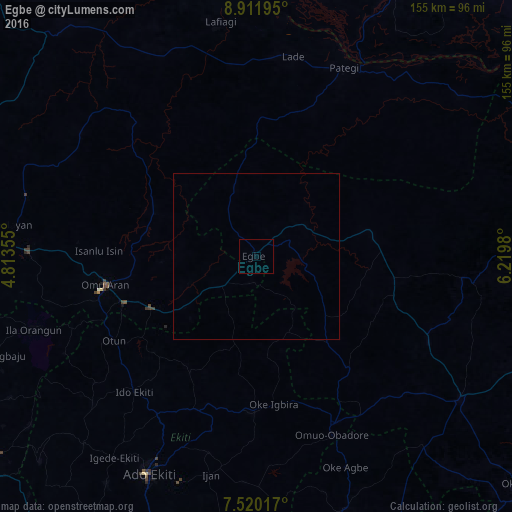
100%Clear (daylight) street map image can be seen on geolist.org.
Map coordinates:
8° 54' 43" North, 4° 48' 48.8" East
8° 13' 0" North, 5° 31' 0" East
7° 31' 12.6" North, 6° 13' 11.3" East
Some cities around Egbe sort by population:
• Ipoti
61.6 km =38.3 mi,  231°
231°
• Ode
52.1 km =32.4 mi,  155°
155°
• Oke Ila
65.8 km =40.9 mi,  243°
243°
• Patigi
62.7 km =39 mi,  24°
24°
• Isanlu-Itedoijowa
35.6 km =22.1 mi,  79°
79°
• Omu-Aran
46.4 km =28.8 mi,  259°
259°
• Ifaki
55.9 km =34.7 mi,  211°
211°
• Omuo-Ekiti
55.8 km =34.7 mi, 156°
2343943 (p: 17,612)
Sources (retrieved 2019-11-25):
» Earth at Night: Flat Maps 2012, 2016