Bida night lights from space
Night Light of Bida (Niger) from space (Nigeria) Src. Average luminocity for 10x10km area is 1.0931% and for 50x50km: 0.0429%.
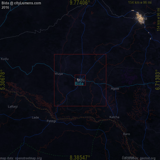
Analysis of Bida night lights 2016
Square area 10x10 km:
 0%
0%90-99
0%80-89
0%70-79
0%60-69
0%50-59
0%40-49
0%30-39
1.73%20-29
1.73%10-19
0%0-9
96.54%Square area 50x50 km:
0%90-99
0%80-89
0%70-79
0%60-69
0%50-59
0%40-49
0%30-39
0.07%20-29
0.07%10-19
0%0-9
99.86%Clear (daylight) street map image can be seen on geolist.org.
Map coordinates:
9° 46' 26.6" North, 5° 18' 24.4" East
9° 4' 49.6" North, 6° 0' 35.6" East
8° 23' 7.7" North, 6° 42' 46.9" East
Some cities around Bida sort by population:
• Minna
83.8 km =52.1 mi,  44°
44°
• Lafiagi
69.9 km =43.4 mi,  248°
248°
• Patigi
48.1 km =29.9 mi,  215°
215°
• Baro
68.5 km =42.6 mi,  139°
139°
• Zungeru
82.3 km =51.1 mi,  10°
10°
• Lapai
61.7 km =38.3 mi,  93°
93°
• Agaie
34.8 km =21.6 mi,  103°
103°
• Badeggi
14.9 km =9.3 mi, 100°
2347209 (p: 171,656)
Sources (retrieved 2019-11-25):
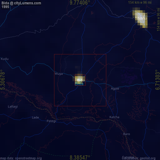
» NASA, Earths city lights 1995
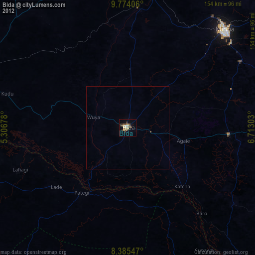
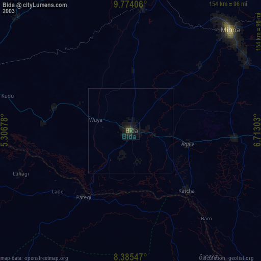
» NASA city lights 2003
» Earth at Night: Flat Maps 2012, 2016