Isanlu-Itedoijowa night lights from space
Night Light of Isanlu-Itedoijowa (Kogi) from space (Nigeria) Src. Average luminocity for 10x10km area is 0% and for 50x50km: 0%.
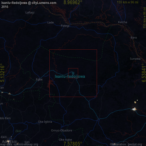
Analysis of Isanlu-Itedoijowa night lights 2016
Square area 10x10 km:
100  0%
0%
90-99 0%
80-89 0%
70-79 0%
60-69 0%
50-59 0%
40-49 0%
30-39 0%
20-29 0%
10-19 0%
0-9 100%
0%90-99
0%80-89
0%70-79
0%60-69
0%50-59
0%40-49
0%30-39
0%20-29
0%10-19
0%0-9
100%Square area 50x50 km:
100 0%
90-99 0%
80-89 0%
70-79 0%
60-69 0%
50-59 0%
40-49 0%
30-39 0%
20-29 0%
10-19 0%
0-9 100%
0%90-99
0%80-89
0%70-79
0%60-69
0%50-59
0%40-49
0%30-39
0%20-29
0%10-19
0%0-9
100%Clear (daylight) street map image can be seen on geolist.org.
Map coordinates:
8° 58' 10.6" North, 5° 7' 55.8" East
8° 16' 28" North, 5° 50' 7" East
7° 34' 41" North, 6° 32' 18.3" East
Some cities around Isanlu-Itedoijowa sort by population:
• Lafiagi
79.1 km =49.2 mi,  324°
324°
• Ode
55.6 km =34.5 mi,  194°
194°
• Kabba
56.3 km =35 mi,  152°
152°
• Patigi
51.2 km =31.8 mi,  350°
350°
• Baro
74.5 km =46.3 mi,  59°
59°
• Egbe
35.6 km =22.1 mi,  259°
259°
• Omu-Aran
82 km =51 mi, 259°
• Omuo-Ekiti
58.7 km =36.5 mi, 192°
2337235 (p: 15,087)
Sources (retrieved 2019-11-25):
» Earth at Night: Flat Maps 2012, 2016