Gashua night lights from space
Night Light of Gashua (Yobe) from space (Nigeria) Src. Average luminocity for 10x10km area is 1.0519% and for 50x50km: 0.0413%.
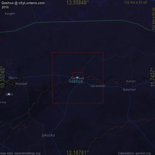
Analysis of Gashua night lights 2016
Square area 10x10 km:
 0%
0%90-99
0%80-89
0%70-79
0%60-69
0%50-59
0%40-49
1.73%30-39
0%20-29
0.87%10-19
0%0-9
97.4%Square area 50x50 km:
0%90-99
0%80-89
0%70-79
0%60-69
0%50-59
0%40-49
0.07%30-39
0%20-29
0.03%10-19
0%0-9
99.9%Clear (daylight) street map image can be seen on geolist.org.
Map coordinates:
13° 33' 30.5" North, 10° 20' 14.8" East
12° 52' 26.3" North, 11° 2' 26.1" East
12° 11' 15.4" North, 11° 44' 37.3" East
Some cities around Gashua sort by population:
• Nguru
63.4 km =39.4 mi,  270°
270°
• Geidam
96.1 km =59.7 mi,  88°
88°
• Kumagunnam
53.9 km =33.5 mi,  305°
305°
• Dapchi
65.2 km =40.5 mi,  130°
130°
• Gamawa
98.7 km =61.3 mi,  213°
213°
• Gorgoram
44.8 km =27.8 mi,  234°
234°
• Birniwa
87.7 km =54.5 mi,  263°
263°
• Gwio Kura
22.3 km =13.9 mi,  172°
172°
2341656 (p: 125,817)
Sources (retrieved 2019-11-25):
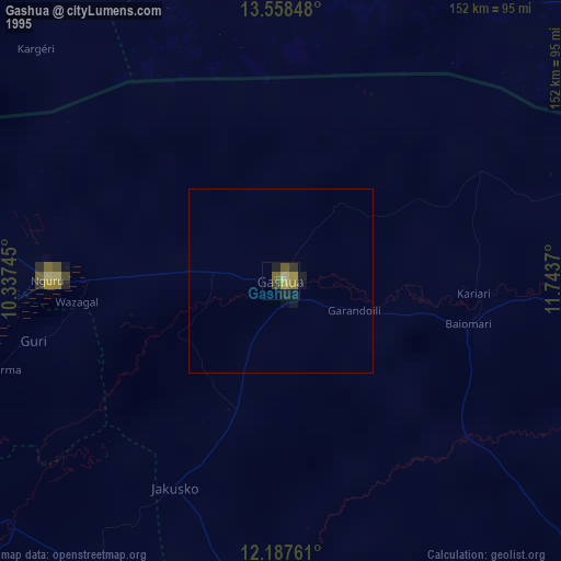
» NASA, Earths city lights 1995
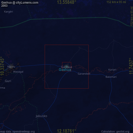
» NASA city lights 2003
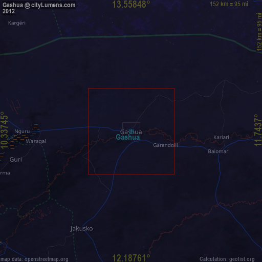
» Earth at Night: Flat Maps 2012, 2016