Gwio Kura night lights from space
Night Light of Gwio Kura (Yobe) from space (Nigeria) Src. Average luminocity for 10x10km area is 0% and for 50x50km: 0.0411%.
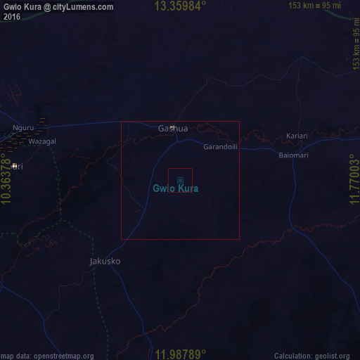
Analysis of Gwio Kura night lights 2016
Square area 10x10 km:
 0%
0%90-99
0%80-89
0%70-79
0%60-69
0%50-59
0%40-49
0%30-39
0%20-29
0%10-19
0%0-9
100%Square area 50x50 km:
0%90-99
0%80-89
0%70-79
0%60-69
0%50-59
0%40-49
0.07%30-39
0%20-29
0.03%10-19
0%0-9
99.9%Clear (daylight) street map image can be seen on geolist.org.
Map coordinates:
13° 21' 35.4" North, 10° 21' 49.6" East
12° 40' 29.2" North, 11° 4' 0.8" East
11° 59' 16.4" North, 11° 46' 12.1" East
Some cities around Gwio Kura sort by population:
• Gashua
22.3 km =13.9 mi,  352°
352°
• Nguru
70 km =43.5 mi,  288°
288°
• Kumagunnam
71 km =44.1 mi,  318°
318°
• Dapchi
51 km =31.7 mi,  113°
113°
• Gamawa
83.2 km =51.7 mi,  223°
223°
• Gorgoram
39.5 km =24.5 mi,  264°
264°
• Katagum
89.1 km =55.4 mi,  240°
240°
• Lajere
87.2 km =54.2 mi,  152°
152°
2339706 (p: 7,091)
Sources (retrieved 2019-11-25):
» Earth at Night: Flat Maps 2012, 2016