Lafia night lights from space
Night Light of Lafia (Nassarawa) from space (Nigeria) Src. Average luminocity for 10x10km area is 3.5434% and for 50x50km: 0.2519%.
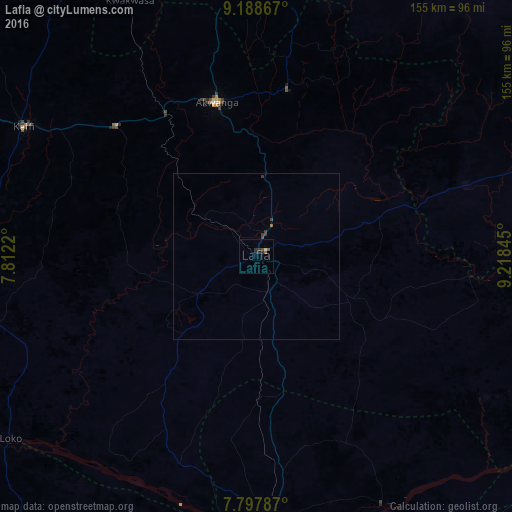
Analysis of Lafia night lights 2016
Square area 10x10 km:
 0%
0%90-99
0.41%80-89
0.41%70-79
0%60-69
0%50-59
1.65%40-49
0.83%30-39
1.24%20-29
2.07%10-19
0.83%0-9
92.56%Square area 50x50 km:
0%90-99
0.02%80-89
0.02%70-79
0%60-69
0.01%50-59
0.09%40-49
0.07%30-39
0.21%20-29
0.09%10-19
0.03%0-9
99.46%Clear (daylight) street map image can be seen on geolist.org.
Map coordinates:
9° 11' 19.2" North, 7° 48' 43.9" East
8° 29' 38" North, 8° 30' 55.2" East
7° 47' 52.3" North, 9° 13' 6.4" East
Some cities around Lafia sort by population:
• Makurdi
84.5 km =52.5 mi,  179°
179°
• Keffi
80.7 km =50.1 mi,  299°
299°
• Nasarawa
88.9 km =55.2 mi,  273°
273°
• Wamba
50.7 km =31.5 mi,  10°
10°
• Akwanga
47.9 km =29.8 mi,  345°
345°
• Doma
20.9 km =13 mi,  237°
237°
• Bokkos
103.9 km =64.6 mi,  30°
30°
• Kwolla
96.6 km =60 mi,  61°
61°
2332515 (p: 127,236)
Sources (retrieved 2019-11-25):
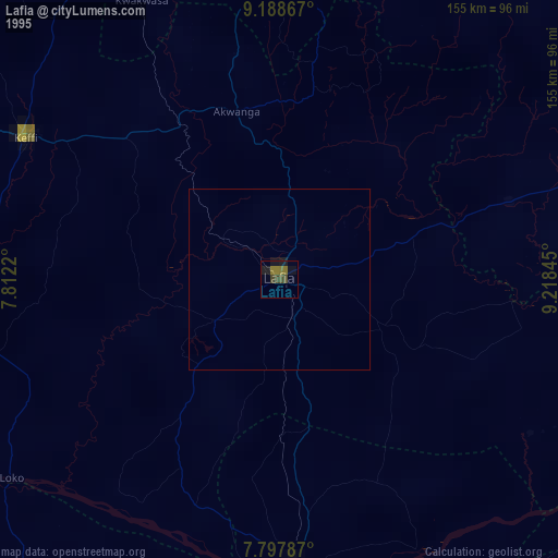
» NASA, Earths city lights 1995
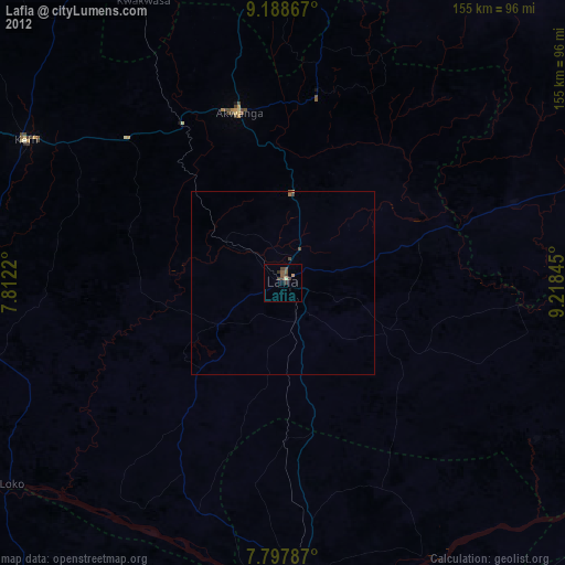
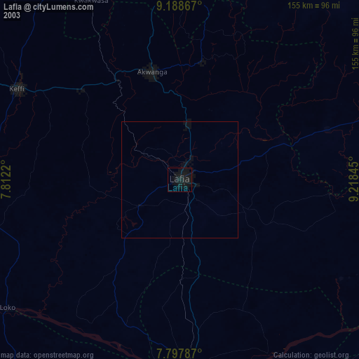
» NASA city lights 2003
» Earth at Night: Flat Maps 2012, 2016