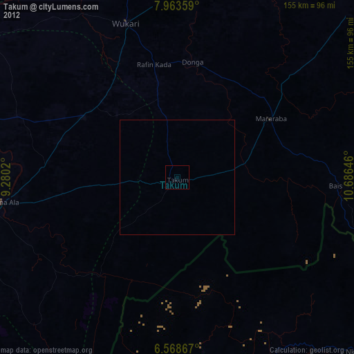
Takum night lights from space
Night Light of Takum (Benue) from space (Nigeria) Src. Average luminocity for 10x10km area is 0% and for 50x50km: 0%.
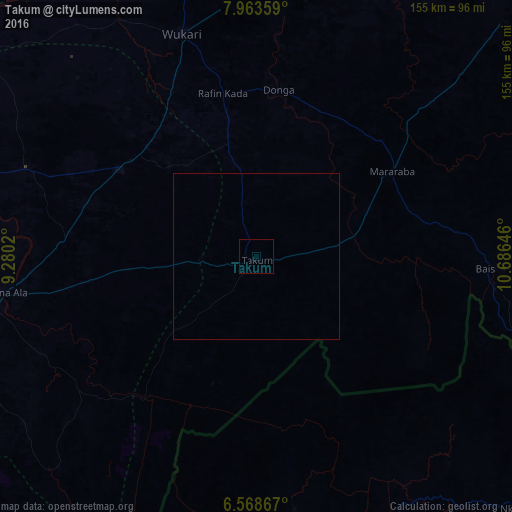
Analysis of Takum night lights 2016
Square area 10x10 km:
100  0%
0%
90-99 0%
80-89 0%
70-79 0%
60-69 0%
50-59 0%
40-49 0%
30-39 0%
20-29 0%
10-19 0%
0-9 100%
0%90-99
0%80-89
0%70-79
0%60-69
0%50-59
0%40-49
0%30-39
0%20-29
0%10-19
0%0-9
100%Square area 50x50 km:
100 0%
90-99 0%
80-89 0%
70-79 0%
60-69 0%
50-59 0%
40-49 0%
30-39 0%
20-29 0%
10-19 0%
0-9 100%
0%90-99
0%80-89
0%70-79
0%60-69
0%50-59
0%40-49
0%30-39
0%20-29
0%10-19
0%0-9
100%Clear (daylight) street map image can be seen on geolist.org.
Map coordinates:
7° 57' 48.9" North, 9° 16' 48.7" East
7° 16' 0" North, 9° 58' 60" East
6° 34' 7.2" North, 10° 41' 11.3" East
Some cities around Takum sort by population:
• Wukari
71 km =44.1 mi,  341°
341°
• Wum, CM
98.6 km =61.3 mi,  174°
174°
• Katsina-Ala
77.8 km =48.3 mi,  262°
262°
• Ibi
105 km =65.2 mi,  345°
345°
• Zaki Biam
49 km =30.4 mi,  302°
302°
• Baissa
70.8 km =44 mi,  93°
93°
• Yandev
104.3 km =64.8 mi,  275°
275°
• Riti
82 km =51 mi,  330°
330°
2322552 (p: 24,822)
Sources (retrieved 2019-11-25):
» Earth at Night: Flat Maps 2012, 2016