Zaki Biam night lights from space
Night Light of Zaki Biam (Benue) from space (Nigeria) Src. Average luminocity for 10x10km area is 0.0433% and for 50x50km: 0.0017%.
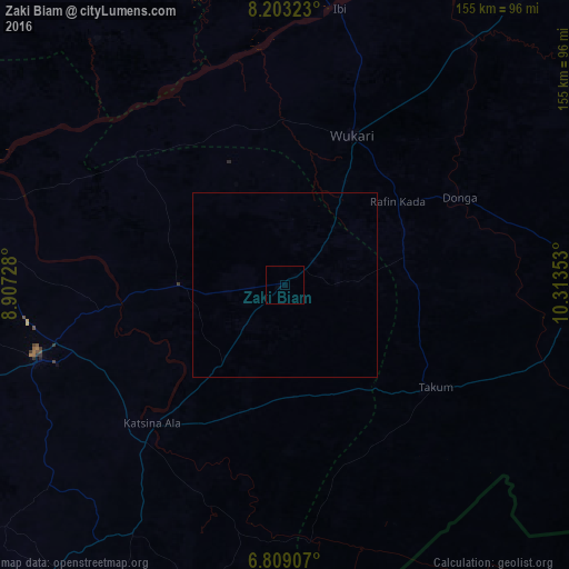
Analysis of Zaki Biam night lights 2016
Square area 10x10 km:
 0%
0%90-99
0%80-89
0%70-79
0%60-69
0%50-59
0%40-49
0%30-39
0%20-29
0%10-19
0%0-9
100%Square area 50x50 km:
0%90-99
0%80-89
0%70-79
0%60-69
0%50-59
0%40-49
0%30-39
0%20-29
0%10-19
0%0-9
100%Clear (daylight) street map image can be seen on geolist.org.
Map coordinates:
8° 12' 11.6" North, 8° 54' 26.2" East
7° 30' 24.2" North, 9° 36' 37.4" East
6° 48' 32.7" North, 10° 18' 48.7" East
Some cities around Zaki Biam sort by population:
• Wukari
44.5 km =27.7 mi,  24°
24°
• Katsina-Ala
51.9 km =32.2 mi,  223°
223°
• Takum
49 km =30.4 mi,  122°
122°
• Ibi
76.4 km =47.5 mi,  11°
11°
• Obudu
105.4 km =65.5 mi,  207°
207°
• Yandev
64.6 km =40.1 mi,  255°
255°
• Riti
44.7 km =27.8 mi,  0°
0°
• Gakem
106.7 km =66.3 mi, 219°
2317899 (p: 10,470)
Sources (retrieved 2019-11-25):
» Earth at Night: Flat Maps 2012, 2016