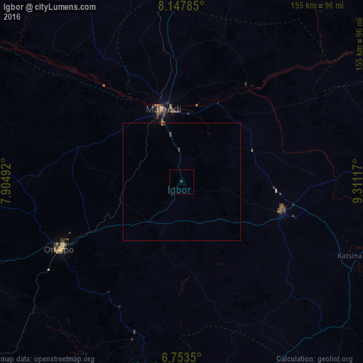
Igbor night lights from space
Night Light of Igbor (Benue) from space (Nigeria) Src. Average luminocity for 10x10km area is 0.3766% and for 50x50km: 0.174%.
Analysis of Igbor night lights 2016
Square area 10x10 km:
100  0%
0%
90-99 0%
80-89 0%
70-79 0%
60-69 0%
50-59 0%
40-49 0%
30-39 0.87%
20-29 0%
10-19 0.43%
0-9 98.7%
0%90-99
0%80-89
0%70-79
0%60-69
0%50-59
0%40-49
0%30-39
0.87%20-29
0%10-19
0.43%0-9
98.7%Square area 50x50 km:
100 0%
90-99 0%
80-89 0%
70-79 0.05%
60-69 0.01%
50-59 0.01%
40-49 0.1%
30-39 0.08%
20-29 0.03%
10-19 0.02%
0-9 99.7%
0%90-99
0%80-89
0%70-79
0.05%60-69
0.01%50-59
0.01%40-49
0.1%30-39
0.08%20-29
0.03%10-19
0.02%0-9
99.7%Clear (daylight) street map image can be seen on geolist.org.
Map coordinates:
8° 8' 52.3" North, 7° 54' 17.7" East
7° 27' 4.4" North, 8° 36' 29" East
6° 45' 12.6" North, 9° 18' 40.2" East
Some cities around Igbor sort by population:
• Makurdi
32.8 km =20.4 mi,  343°
343°
• Katsina-Ala
80.9 km =50.3 mi,  112°
112°
• Ugbokpo
82.9 km =51.5 mi,  285°
285°
• Boju
79.6 km =49.5 mi,  262°
262°
• Aliade
22.1 km =13.7 mi,  218°
218°
• Ochobo
75.3 km =46.8 mi,  246°
246°
• Yandev
48.9 km =30.4 mi,  101°
101°
• Gakem
86.8 km =53.9 mi,  150°
150°
2338660 (p: 17,666)
Sources (retrieved 2019-11-25):
» Earth at Night: Flat Maps 2012, 2016