Azare night lights from space
Night Light of Azare (Bauchi) from space (Nigeria) Src. Average luminocity for 10x10km area is 4.2294% and for 50x50km: 0.1631%.
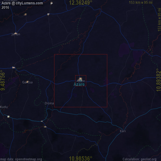
Analysis of Azare night lights 2016
Square area 10x10 km:
 0%
0%90-99
0%80-89
0%70-79
0.87%60-69
0%50-59
0%40-49
4.33%30-39
2.38%20-29
1.95%10-19
0%0-9
90.48%Square area 50x50 km:
0%90-99
0%80-89
0%70-79
0.03%60-69
0%50-59
0%40-49
0.17%30-39
0.09%20-29
0.08%10-19
0%0-9
99.63%Clear (daylight) street map image can be seen on geolist.org.
Map coordinates:
12° 21' 45" North, 9° 29' 15.2" East
11° 40' 29.2" North, 10° 11' 26.5" East
10° 59' 7.3" North, 10° 53' 37.8" East
Some cities around Azare sort by population:
• Kari
62.4 km =38.8 mi,  139°
139°
• Gwaram
55.4 km =34.4 mi,  217°
217°
• Misau
50.2 km =31.2 mi, 143°
• Madara
30.3 km =18.8 mi,  67°
67°
• Sade
63.2 km =39.3 mi,  123°
123°
• Zadawa
31.6 km =19.6 mi, 142°
• Yanda Bayo
63.3 km =39.3 mi,  107°
107°
• Disina
36.6 km =22.7 mi,  233°
233°
2348595 (p: 105,687)
Sources (retrieved 2019-11-25):
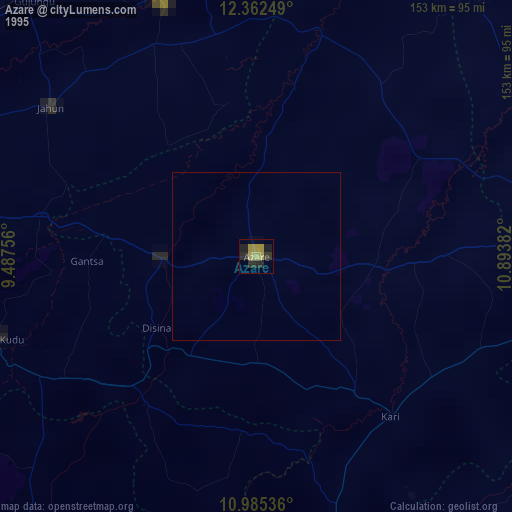
» NASA, Earths city lights 1995
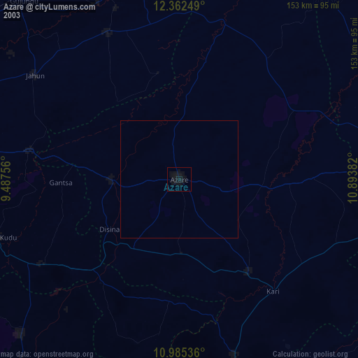
» NASA city lights 2003
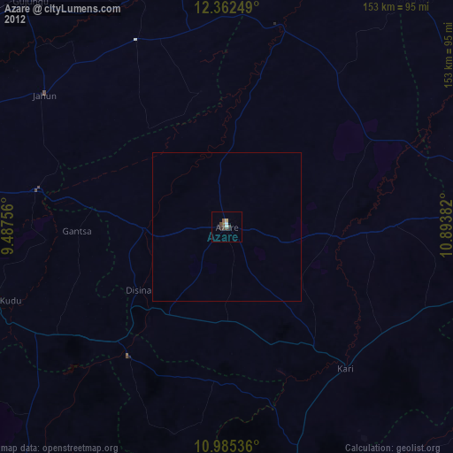
» Earth at Night: Flat Maps 2012, 2016