Kiyawa night lights from space
Night Light of Kiyawa (Jigawa) from space (Nigeria) Src. Average luminocity for 10x10km area is 1.6694% and for 50x50km: 0.2236%.
Analysis of Kiyawa night lights 2016
Square area 10x10 km:
 0%
0%90-99
0%80-89
0%70-79
0.83%60-69
0.41%50-59
0.41%40-49
0.83%30-39
0%20-29
0%10-19
0.83%0-9
96.69%Square area 50x50 km:
0%90-99
0%80-89
0%70-79
0.07%60-69
0.02%50-59
0.05%40-49
0.03%30-39
0.07%20-29
0%10-19
0.08%0-9
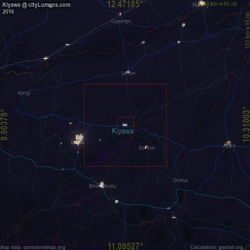
99.68%Clear (daylight) street map image can be seen on geolist.org.
Map coordinates:
12° 28' 18.7" North, 8° 54' 13.6" East
11° 47' 3.9" North, 9° 36' 24.8" East
11° 5' 43" North, 10° 18' 36.1" East
Some cities around Kiyawa sort by population:
• Birnin Kudu
39.5 km =24.5 mi,  200°
200°
• Dutse
29.3 km =18.2 mi,  263°
263°
• Gwaram
64 km =39.8 mi,  151°
151°
• Ringim
63.3 km =39.3 mi,  310°
310°
• Kafin Hausa
60.4 km =37.5 mi,  33°
33°
• Takai
59 km =36.7 mi,  246°
246°
• Samamiya
48.6 km =30.2 mi,  175°
175°
• Disina
47.9 km =29.8 mi,  134°
134°
2334306 (p: 17,704)
Sources (retrieved 2019-11-25):
» Earth at Night: Flat Maps 2012, 2016