Gamawa night lights from space
Night Light of Gamawa (Bauchi) from space (Nigeria) Src. Average luminocity for 10x10km area is 0% and for 50x50km: 0%.
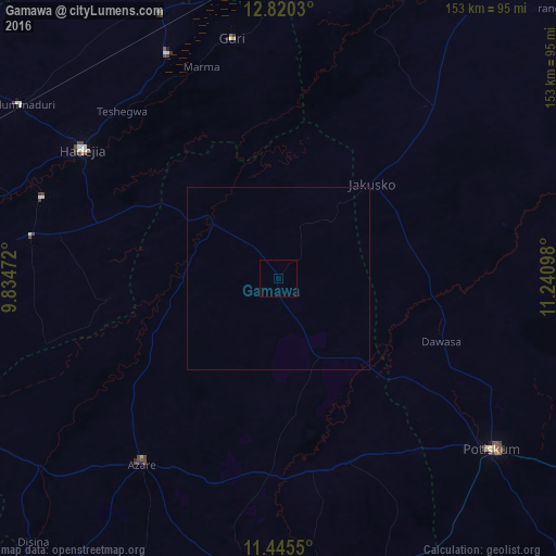
Analysis of Gamawa night lights 2016
Square area 10x10 km:
 0%
0%90-99
0%80-89
0%70-79
0%60-69
0%50-59
0%40-49
0%30-39
0%20-29
0%10-19
0%0-9
100%Square area 50x50 km:
0%90-99
0%80-89
0%70-79
0%60-69
0%50-59
0%40-49
0%30-39
0%20-29
0%10-19
0%0-9
100%Clear (daylight) street map image can be seen on geolist.org.
Map coordinates:
12° 49' 13.1" North, 9° 50' 5" East
12° 8' 1.6" North, 10° 32' 16.3" East
11° 26' 43.8" North, 11° 14' 27.5" East
Some cities around Gamawa sort by population:
• Hadejia
64.6 km =40.1 mi,  303°
303°
• Azare
63.5 km =39.5 mi,  216°
216°
• Potiskum
75.3 km =46.8 mi,  128°
128°
• Kafin Hausa
69.1 km =42.9 mi,  279°
279°
• Gorgoram
59.1 km =36.7 mi,  17°
17°
• Katagum
26.4 km =16.4 mi,  309°
309°
• Madara
40.6 km =25.2 mi,  193°
193°
• Yanda Bayo
73.3 km =45.5 mi,  161°
161°
2342199 (p: 13,549)
Sources (retrieved 2019-11-25):
» Earth at Night: Flat Maps 2012, 2016