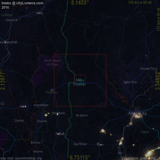
Imeko night lights from space
Night Light of Imeko (Ogun) from space (Nigeria) Src. Average luminocity for 10x10km area is 0% and for 50x50km: 0.0003%.
Analysis of Imeko night lights 2016
Square area 10x10 km:
100  0%
0%
90-99 0%
80-89 0%
70-79 0%
60-69 0%
50-59 0%
40-49 0%
30-39 0%
20-29 0%
10-19 0%
0-9 100%
0%90-99
0%80-89
0%70-79
0%60-69
0%50-59
0%40-49
0%30-39
0%20-29
0%10-19
0%0-9
100%Square area 50x50 km:
100 0%
90-99 0%
80-89 0%
70-79 0%
60-69 0%
50-59 0%
40-49 0%
30-39 0%
20-29 0%
10-19 0%
0-9 100%
0%90-99
0%80-89
0%70-79
0%60-69
0%50-59
0%40-49
0%30-39
0%20-29
0%10-19
0%0-9
100%Clear (daylight) street map image can be seen on geolist.org.
Map coordinates:
8° 8' 43.8" North, 2° 8' 23.2" East
7° 26' 56" North, 2° 50' 34.4" East
6° 45' 4.1" North, 3° 32' 45.7" East
Some cities around Imeko sort by population:
• Abeokuta
64.3 km =40 mi,  120°
120°
• Igbo-Ora
49.1 km =30.5 mi,  91°
91°
• Savé, BJ
76 km =47.2 mi,  328°
328°
• Orita Eruwa
66.1 km =41.1 mi,  80°
80°
• Ilaro
65.1 km =40.5 mi,  163°
163°
• Cové, BJ
61 km =37.9 mi,  245°
245°
• Pobé, BJ
55.7 km =34.6 mi,  200°
200°
• Kétou, BJ
28.4 km =17.6 mi, 250°
2330241 (p: 8,627)
Sources (retrieved 2019-11-25):
» Earth at Night: Flat Maps 2012, 2016