Abeokuta night lights from space
Night Light of Abeokuta (Ogun) from space (Nigeria) Src. Average luminocity for 10x10km area is 20.6905% and for 50x50km: 1.3356%.
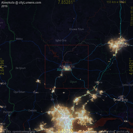
Analysis of Abeokuta night lights 2016
Square area 10x10 km:
 0%
0%90-99
0.87%80-89
0.87%70-79
3.9%60-69
2.81%50-59
2.81%40-49
10.39%30-39
11.26%20-29
6.71%10-19
8.23%0-9
52.16%Square area 50x50 km:
0%90-99
0.03%80-89
0.04%70-79
0.23%60-69
0.16%50-59
0.11%40-49
0.57%30-39
0.67%20-29
0.5%10-19
0.45%0-9
97.21%Clear (daylight) street map image can be seen on geolist.org.
Map coordinates:
7° 51' 10.1" North, 2° 38' 31.1" East
7° 9' 20.6" North, 3° 20' 42.3" East
6° 27' 27.2" North, 4° 2' 53.6" East
Some cities around Abeokuta sort by population:
• Shagamu
47.7 km =29.6 mi,  135°
135°
• Igbo-Ora
31.6 km =19.6 mi,  348°
348°
• Ifo
41.3 km =25.7 mi,  203°
203°
• Orita Eruwa
44.9 km =27.9 mi,  12°
12°
• Ilaro
47 km =29.2 mi,  230°
230°
• Iperu
44.7 km =27.8 mi,  127°
127°
• Owode
29.1 km =18.1 mi, 142°
• Isara
41.3 km =25.7 mi,  115°
115°
2352947 (p: 593,100)
Sources (retrieved 2019-11-25):
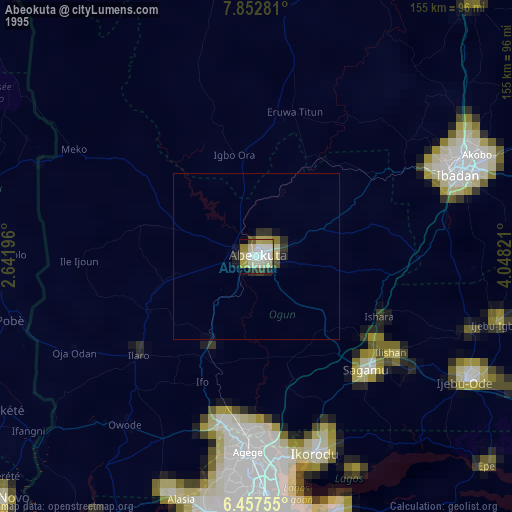
» NASA, Earths city lights 1995
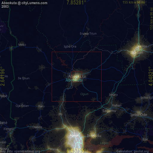
» NASA city lights 2003
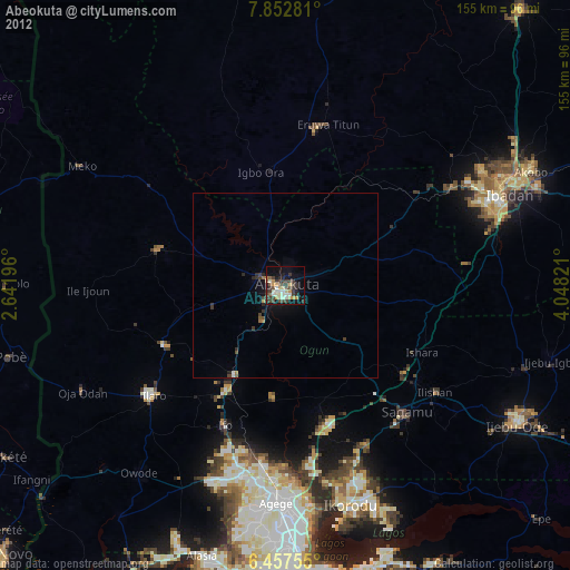
» Earth at Night: Flat Maps 2012, 2016