Pobé night lights from space
Night Light of Pobé (Plateau) from space (Benin) Src. Average luminocity for 10x10km area is 1.2165% and for 50x50km: 0.3609%.
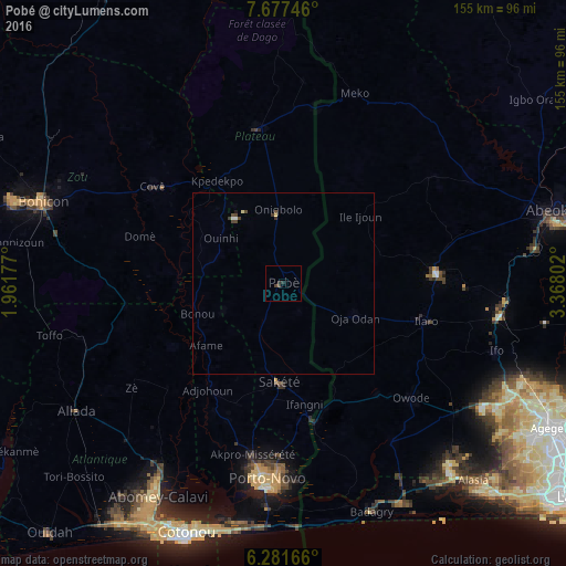
Analysis of Pobé night lights 2016
Square area 10x10 km:
 0%
0%90-99
0%80-89
0%70-79
0%60-69
0%50-59
0%40-49
1.3%30-39
0.43%20-29
1.73%10-19
0%0-9
96.54%Square area 50x50 km:
0.03%90-99
0.03%80-89
0.07%70-79
0%60-69
0%50-59
0%40-49
0.28%30-39
0.14%20-29
0.07%10-19
0.03%0-9
99.34%Clear (daylight) street map image can be seen on geolist.org.
Map coordinates:
7° 40' 38.9" North, 1° 57' 42.4" East
6° 58' 48.3" North, 2° 39' 53.6" East
6° 16' 54" North, 3° 22' 4.9" East
Some cities around Pobé sort by population:
• Porto-Novo
54.2 km =33.7 mi,  187°
187°
• Ilaro, NG
39.9 km =24.8 mi,  104°
104°
• Cové
44.7 km =27.8 mi,  306°
306°
• Sakété
27.1 km =16.8 mi,  181°
181°
• Kétou
43.2 km =26.8 mi,  350°
350°
• Ado-Odo, NG
52.6 km =32.7 mi,  144°
144°
• Imeko, NG
55.7 km =34.6 mi,  20°
20°
• Idiroko, NG
39.8 km =24.7 mi,  166°
166°
2392108 (p: 32,983)
Sources (retrieved 2019-11-25):
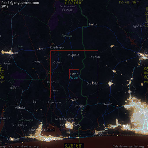
» Earth at Night: Flat Maps 2012, 2016