Savé night lights from space
Night Light of Savé (Collines) from space (Benin) Src. Average luminocity for 10x10km area is 0.4587% and for 50x50km: 0.028%.
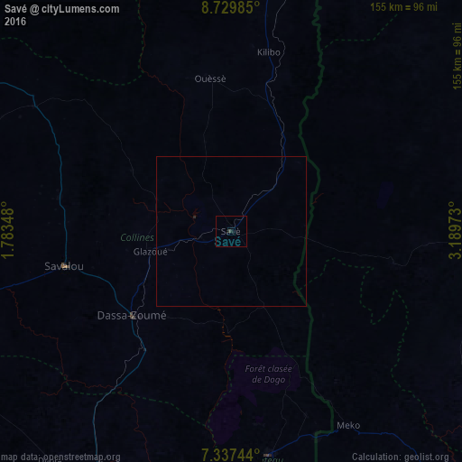
Analysis of Savé night lights 2016
Square area 10x10 km:
 0%
0%90-99
0%80-89
0%70-79
0%60-69
0%50-59
0%40-49
0.21%30-39
0.62%20-29
0%10-19
0.62%0-9
98.55%Square area 50x50 km:
0%90-99
0%80-89
0%70-79
0%60-69
0%50-59
0%40-49
0.01%30-39
0.03%20-29
0.03%10-19
0.03%0-9
99.91%Clear (daylight) street map image can be seen on geolist.org.
Map coordinates:
8° 43' 47.5" North, 1° 47' 0.5" East
8° 2' 3.3" North, 2° 29' 11.8" East
7° 20' 14.8" North, 3° 11' 23" East
Some cities around Savé sort by population:
• Bohicon
105.8 km =65.7 mi,  205°
205°
• Cové
91.9 km =57.1 mi,  190°
190°
• Savalou
57.5 km =35.7 mi,  258°
258°
• Kétou
75.6 km =47 mi,  170°
170°
• Dassa-Zoumé
46 km =28.6 mi,  226°
226°
• Tchaourou
95.5 km =59.3 mi,  7°
7°
• Okeho, NG
94.8 km =58.9 mi,  90°
90°
• Imeko, NG
76 km =47.2 mi,  148°
148°
2391893 (p: 75,970)
Sources (retrieved 2019-11-25):
» NASA, Earths city lights 1995
» NASA city lights 2003
» Earth at Night: Flat Maps 2012, 2016