Garoua night lights from space
Night Light of Garoua (North) from space (Cameroon) Src. Average luminocity for 10x10km area is 36.3853% and for 50x50km: 1.8261%.
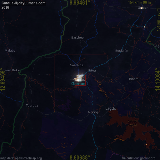

Analysis of Garoua night lights 2016
Square area 10x10 km:
 5.63%
5.63%90-99
15.15%80-89
0.87%70-79
4.98%60-69
2.81%50-59
1.73%40-49
3.9%30-39
1.95%20-29
3.46%10-19
30.52%0-9
29%Square area 50x50 km:
0.22%90-99
0.59%80-89
0.03%70-79
0.2%60-69
0.11%50-59
0.07%40-49
0.29%30-39
0.19%20-29
0.19%10-19
2.01%0-9
96.11%Clear (daylight) street map image can be seen on geolist.org.
Map coordinates:
9° 59' 40.6" North, 12° 41' 40.5" East
9° 18' 5.1" North, 13° 23' 51.8" East
8° 36' 24.8" North, 14° 6' 3" East
Some cities around Garoua sort by population:
• Jimeta, NG
103.1 km =64.1 mi,  268°
268°
• Yola, NG
101.1 km =62.8 mi,  264°
264°
• Guider
92.5 km =57.5 mi,  40°
40°
• Lagdo
40 km =24.9 mi,  132°
132°
• Mboursou Léré, TD
97.6 km =60.6 mi,  58°
58°
• Pitoa
14.7 km =9.1 mi,  51°
51°
• Holma, NG
76.3 km =47.4 mi,  330°
330°
• Poli
93.4 km =58 mi,  190°
190°
2231320 (p: 436,899)
Sources (retrieved 2019-11-25):
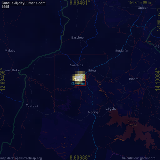
» NASA, Earths city lights 1995
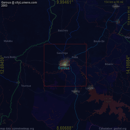
» NASA city lights 2003
» Earth at Night: Flat Maps 2012, 2016