Yola night lights from space
Night Light of Yola (Adamawa) from space (Nigeria) Src. Average luminocity for 10x10km area is 18.7749% and for 50x50km: 1.7172%.
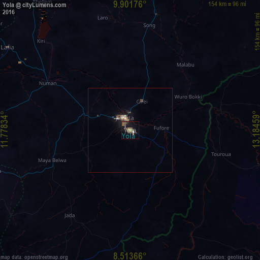
Analysis of Yola night lights 2016
Square area 10x10 km:
 0.43%
0.43%90-99
1.3%80-89
0.87%70-79
0.87%60-69
4.11%50-59
6.49%40-49
5.19%30-39
6.06%20-29
3.68%10-19
14.07%0-9
56.93%Square area 50x50 km:
0.05%90-99
0.08%80-89
0.2%70-79
0.1%60-69
0.3%50-59
0.35%40-49
0.54%30-39
0.63%20-29
0.24%10-19
1.14%0-9
96.37%Clear (daylight) street map image can be seen on geolist.org.
Map coordinates:
9° 54' 6.3" North, 11° 46' 42" East
9° 12' 30.2" North, 12° 28' 53.3" East
8° 30' 49.2" North, 13° 11' 4.5" East
Some cities around Yola sort by population:
• Garoua, CM
101.1 km =62.8 mi,  84°
84°
• Jimeta
8.3 km =5.2 mi,  342°
342°
• Numan
57 km =35.4 mi,  299°
299°
• Gombi
110.3 km =68.5 mi,  14°
14°
• Ganye
98.1 km =61 mi,  208°
208°
• Holma
99.2 km =61.6 mi,  39°
39°
• Ngurore
27.9 km =17.3 mi,  288°
288°
• Mayo-Belwa
49.6 km =30.8 mi,  249°
249°
2318044 (p: 96,006)
Sources (retrieved 2019-11-25):
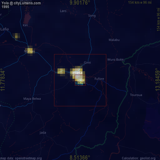
» NASA, Earths city lights 1995
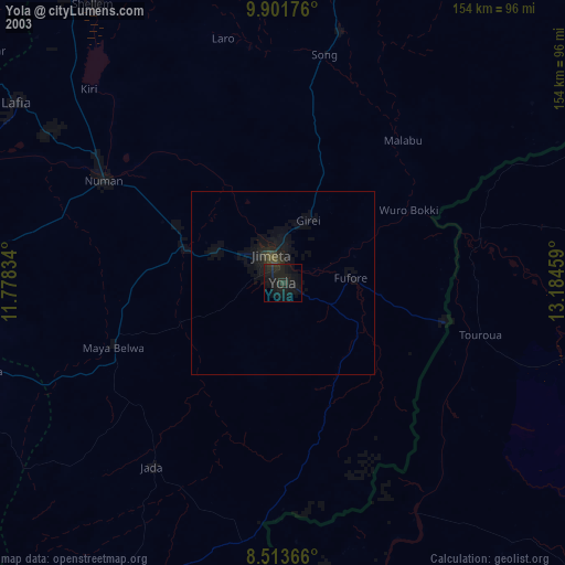
» NASA city lights 2003
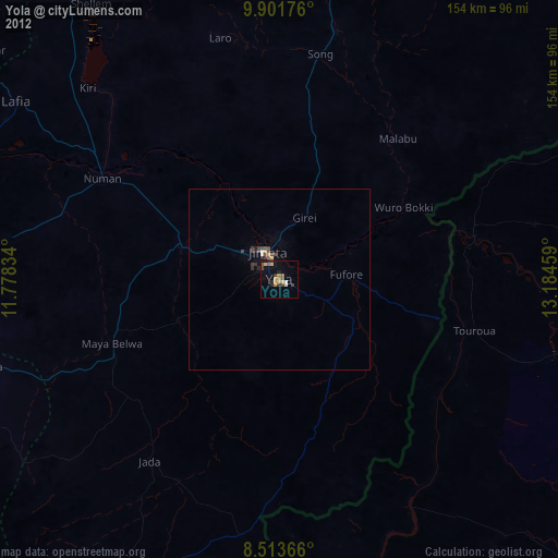
» Earth at Night: Flat Maps 2012, 2016