Geidam night lights from space
Night Light of Geidam (Yobe) from space (Nigeria) Src. Average luminocity for 10x10km area is 0% and for 50x50km: 0%.
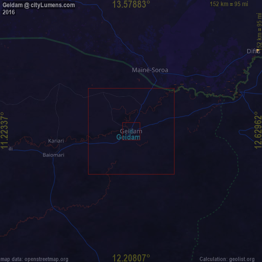
Analysis of Geidam night lights 2016
Square area 10x10 km:
 0%
0%90-99
0%80-89
0%70-79
0%60-69
0%50-59
0%40-49
0%30-39
0%20-29
0%10-19
0%0-9
100%Square area 50x50 km:
0%90-99
0%80-89
0%70-79
0%60-69
0%50-59
0%40-49
0%30-39
0%20-29
0%10-19
0%0-9
100%Clear (daylight) street map image can be seen on geolist.org.
Map coordinates:
13° 34' 43.8" North, 11° 13' 24.1" East
12° 53' 39.8" North, 11° 55' 35.4" East
12° 12' 29.1" North, 12° 37' 46.6" East
Some cities around Geidam sort by population:
• Gashua
96.1 km =59.7 mi,  268°
268°
• Diffa, NE
87.7 km =54.5 mi,  57°
57°
• Dapchi
64.1 km =39.8 mi,  226°
226°
• Damasak
67.3 km =41.8 mi,  69°
69°
• Maïné Soroa, NE
36.8 km =22.9 mi,  16°
16°
• Lajere
114.6 km =71.2 mi,  207°
207°
• Gwio Kura
96.4 km =59.9 mi,  255°
255°
• Bornu Yassu
98 km =60.9 mi,  134°
134°
2341294 (p: 41,367)
Sources (retrieved 2019-11-25):
» Earth at Night: Flat Maps 2012, 2016