Dapchi night lights from space
Night Light of Dapchi (Yobe) from space (Nigeria) Src. Average luminocity for 10x10km area is 0% and for 50x50km: 0%.
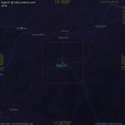
Analysis of Dapchi night lights 2016
Square area 10x10 km:
 0%
0%90-99
0%80-89
0%70-79
0%60-69
0%50-59
0%40-49
0%30-39
0%20-29
0%10-19
0%0-9
100%Square area 50x50 km:
0%90-99
0%80-89
0%70-79
0%60-69
0%50-59
0%40-49
0%30-39
0%20-29
0%10-19
0%0-9
100%Clear (daylight) street map image can be seen on geolist.org.
Map coordinates:
13° 10' 51.2" North, 10° 47' 47.9" East
12° 29' 43.3" North, 11° 29' 59.2" East
11° 48' 28.8" North, 12° 12' 10.4" East
Some cities around Dapchi sort by population:
• Gashua
65.2 km =40.5 mi,  310°
310°
• Potiskum
98.1 km =61 mi,  207°
207°
• Damaturu
97.1 km =60.3 mi,  148°
148°
• Geidam
64.1 km =39.8 mi,  46°
46°
• Gorgoram
87.8 km =54.6 mi,  280°
280°
• Maïné Soroa, NE
97.8 km =60.8 mi,  35°
35°
• Lajere
57.6 km =35.8 mi,  186°
186°
• Gwio Kura
51 km =31.7 mi,  293°
293°
2345172 (p: 14,077)
Sources (retrieved 2019-11-25):
» Earth at Night: Flat Maps 2012, 2016