Ugbokpo night lights from space
Night Light of Ugbokpo (Benue) from space (Nigeria) Src. Average luminocity for 10x10km area is 0% and for 50x50km: 0%.
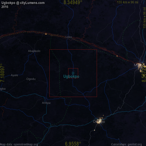
Analysis of Ugbokpo night lights 2016
Square area 10x10 km:
100  0%
0%
90-99 0%
80-89 0%
70-79 0%
60-69 0%
50-59 0%
40-49 0%
30-39 0%
20-29 0%
10-19 0%
0-9 100%
0%90-99
0%80-89
0%70-79
0%60-69
0%50-59
0%40-49
0%30-39
0%20-29
0%10-19
0%0-9
100%Square area 50x50 km:
100 0%
90-99 0%
80-89 0%
70-79 0%
60-69 0%
50-59 0%
40-49 0%
30-39 0%
20-29 0%
10-19 0%
0-9 100%
0%90-99
0%80-89
0%70-79
0%60-69
0%50-59
0%40-49
0%30-39
0%20-29
0%10-19
0%0-9
100%Clear (daylight) street map image can be seen on geolist.org.
Map coordinates:
8° 20' 58.2" North, 7° 10' 51.5" East
7° 39' 11.6" North, 7° 53' 2.8" East
6° 57' 20.9" North, 8° 35' 14" East
Some cities around Ugbokpo sort by population:
• Makurdi
70.8 km =44 mi,  82°
82°
• Otukpa
66.1 km =41.1 mi,  201°
201°
• Ankpa
39.4 km =24.5 mi,  224°
224°
• Boju
33.1 km =20.6 mi,  178°
178°
• Aliade
77 km =47.8 mi,  121°
121°
• Ete
78.6 km =48.8 mi, 217°
• Bugana
50.7 km =31.5 mi,  319°
319°
• Ochobo
53.7 km =33.4 mi,  168°
168°
2346805 (p: 14,218)
Sources (retrieved 2019-11-25):
» Earth at Night: Flat Maps 2012, 2016