Wamba night lights from space
Night Light of Wamba (Nassarawa) from space (Nigeria) Src. Average luminocity for 10x10km area is 1.2273% and for 50x50km: 0.5124%.
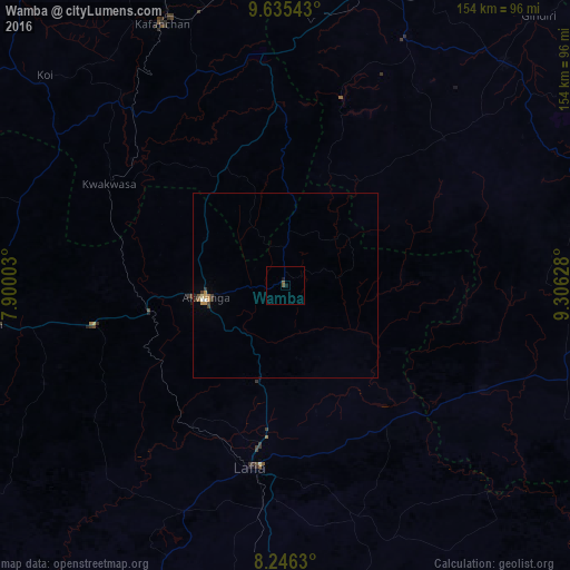
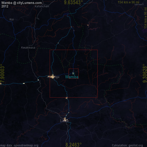
Analysis of Wamba night lights 2016
Square area 10x10 km:
100  0%
0%
90-99 0%
80-89 0%
70-79 0%
60-69 0%
50-59 1.3%
40-49 0.43%
30-39 0%
20-29 0%
10-19 1.52%
0-9 96.75%
0%90-99
0%80-89
0%70-79
0%60-69
0%50-59
1.3%40-49
0.43%30-39
0%20-29
0%10-19
1.52%0-9
96.75%Square area 50x50 km:
100 0%
90-99 0.07%
80-89 0.03%
70-79 0.15%
60-69 0.07%
50-59 0.08%
40-49 0.05%
30-39 0.23%
20-29 0.03%
10-19 0.08%
0-9 99.19%
0%90-99
0.07%80-89
0.03%70-79
0.15%60-69
0.07%50-59
0.08%40-49
0.05%30-39
0.23%20-29
0.03%10-19
0.08%0-9
99.19%Clear (daylight) street map image can be seen on geolist.org.
Map coordinates:
9° 38' 7.5" North, 7° 54' 0.1" East
8° 56' 29.5" North, 8° 36' 11.3" East
8° 14' 46.7" North, 9° 18' 22.6" East
Some cities around Wamba sort by population:
• Lafia
50.7 km =31.5 mi,  190°
190°
• Keffi
80.8 km =50.2 mi,  262°
262°
• Kafanchan
78.9 km =49 mi,  334°
334°
• Kagoro
77.7 km =48.3 mi,  342°
342°
• Akwanga
21.9 km =13.6 mi, 261°
• Doma
66.8 km =41.5 mi,  204°
204°
• Bokkos
58.6 km =36.4 mi,  47°
47°
• Kwolla
75.7 km =47 mi,  93°
93°
2319257 (p: 27,137)
Sources (retrieved 2019-11-25):
» Earth at Night: Flat Maps 2012, 2016