Makurdi night lights from space
Night Light of Makurdi (Benue) from space (Nigeria) Src. Average luminocity for 10x10km area is 15.8079% and for 50x50km: 1.1187%.
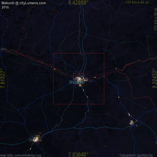
Analysis of Makurdi night lights 2016
Square area 10x10 km:
 0%
0%90-99
0.83%80-89
0.83%70-79
0%60-69
3.1%50-59
5.58%40-49
7.64%30-39
3.1%20-29
6.2%10-19
5.99%0-9
66.74%Square area 50x50 km:
0%90-99
0.03%80-89
0.07%70-79
0.13%60-69
0.2%50-59
0.29%40-49
0.45%30-39
0.29%20-29
0.35%10-19
0.27%0-9
97.92%Clear (daylight) street map image can be seen on geolist.org.
Map coordinates:
8° 25' 47.6" North, 7° 49' 5.8" East
7° 44' 1.5" North, 8° 31' 17" East
7° 2' 11.3" North, 9° 13' 28.3" East
Some cities around Makurdi sort by population:
• Lafia
84.5 km =52.5 mi,  359°
359°
• Igbor
32.8 km =20.4 mi,  163°
163°
• Doma
75.6 km =47 mi,  346°
346°
• Ugbokpo
70.8 km =44 mi,  262°
262°
• Boju
81 km =50.3 mi,  238°
238°
• Aliade
48.8 km =30.3 mi,  185°
185°
• Ochobo
85.5 km =53.1 mi,  224°
224°
• Yandev
70.7 km =43.9 mi,  125°
125°
2331140 (p: 292,645)
Sources (retrieved 2019-11-25):
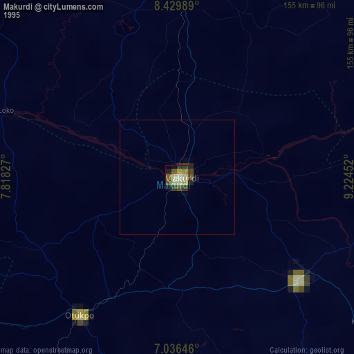
» NASA, Earths city lights 1995
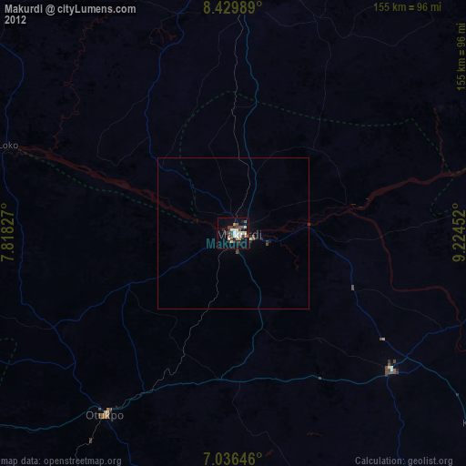
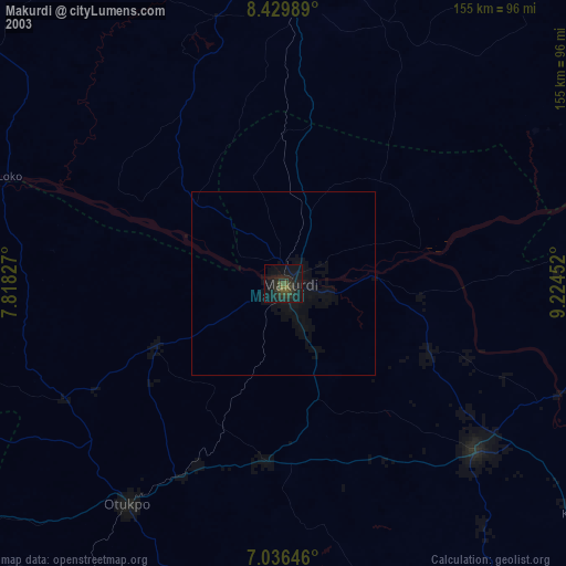
» NASA city lights 2003
» Earth at Night: Flat Maps 2012, 2016