Tessaoua night lights from space
Night Light of Tessaoua (Maradi) from space (Niger) Src. Average luminocity for 10x10km area is 1.2603% and for 50x50km: 0.0506%.
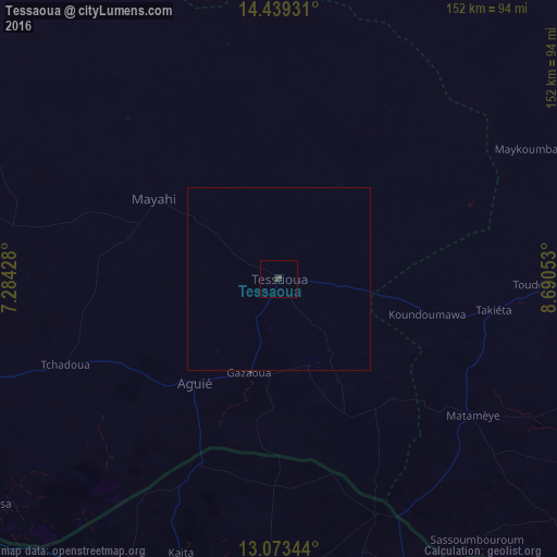
Analysis of Tessaoua night lights 2016
Square area 10x10 km:
 0%
0%90-99
0%80-89
0%70-79
0%60-69
0%50-59
0.41%40-49
1.24%30-39
0.83%20-29
0%10-19
0.83%0-9
96.69%Square area 50x50 km:
0%90-99
0%80-89
0%70-79
0%60-69
0%50-59
0.02%40-49
0.05%30-39
0.03%20-29
0%10-19
0.03%0-9
99.87%Clear (daylight) street map image can be seen on geolist.org.
Map coordinates:
14° 26' 21.5" North, 7° 17' 3.4" East
13° 45' 26.5" North, 7° 59' 14.6" East
13° 4' 24.4" North, 8° 41' 25.9" East
Some cities around Tessaoua sort by population:
• Katsina, NG
94.9 km =59 mi,  206°
206°
• Daura, NG
88.4 km =54.9 mi,  155°
155°
• Mayahi
40.6 km =25.2 mi,  302°
302°
• Matamey
64.5 km =40.1 mi,  125°
125°
• Aguié
35.9 km =22.3 mi,  218°
218°
• Zango, NG
95.1 km =59.1 mi,  145°
145°
• Mashi, NG
86.5 km =53.7 mi,  182°
182°
• Dankama, NG
55.2 km =34.3 mi,  202°
202°
2438823 (p: 35,775)
Sources (retrieved 2019-11-25):
» Earth at Night: Flat Maps 2012, 2016