Jibia night lights from space
Night Light of Jibia (Katsina) from space (Nigeria) Src. Average luminocity for 10x10km area is 0.0801% and for 50x50km: 0.0225%.
Analysis of Jibia night lights 2016
Square area 10x10 km:
 0%
0%90-99
0%80-89
0%70-79
0%60-69
0%50-59
0%40-49
0%30-39
0%20-29
0%10-19
0.43%0-9
99.57%Square area 50x50 km:
0%90-99
0%80-89
0%70-79
0%60-69
0%50-59
0%40-49
0.03%30-39
0%20-29
0%10-19
0.03%0-9
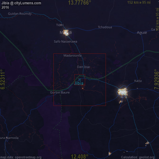
99.93%Clear (daylight) street map image can be seen on geolist.org.
Map coordinates:
13° 46' 39.6" North, 6° 31' 23.2" East
13° 5' 37.6" North, 7° 13' 34.5" East
12° 24' 28.8" North, 7° 55' 45.7" East
Some cities around Jibia sort by population:
• Katsina
42.3 km =26.3 mi,  105°
105°
• Maradi, NE
47.1 km =29.3 mi,  343°
343°
• Tibiri, NE
55.6 km =34.5 mi, 339°
• Wagini
45.3 km =28.1 mi,  184°
184°
• Madarounfa, NE
25.1 km =15.6 mi, 342°
• Ruma
25.7 km =16 mi, 177°
• Batsari
37.7 km =23.4 mi, 176°
• Dankama
65.6 km =40.8 mi,  69°
69°
2336137 (p: 14,424)
Sources (retrieved 2019-11-25):
» Earth at Night: Flat Maps 2012, 2016