Madarounfa night lights from space
Night Light of Madarounfa (Maradi) from space (Niger) Src. Average luminocity for 10x10km area is 0% and for 50x50km: 0.9974%.
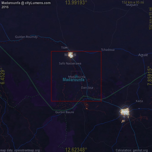
Analysis of Madarounfa night lights 2016
Square area 10x10 km:
 0%
0%90-99
0%80-89
0%70-79
0%60-69
0%50-59
0%40-49
0%30-39
0%20-29
0%10-19
0%0-9
100%Square area 50x50 km:
0.18%90-99
0.18%80-89
0.09%70-79
0.12%60-69
0.16%50-59
0.06%40-49
0.06%30-39
0.11%20-29
0.04%10-19
0.7%0-9
98.3%Clear (daylight) street map image can be seen on geolist.org.
Map coordinates:
13° 59' 30.9" North, 6° 27' 10.4" East
13° 18' 31.2" North, 7° 9' 21.7" East
12° 37' 24.5" North, 7° 51' 32.9" East
Some cities around Madarounfa sort by population:
• Katsina, NG
59.8 km =37.2 mi,  126°
126°
• Maradi
22.1 km =13.7 mi,  344°
344°
• Tibiri
30.5 km =19 mi, 337°
• Jibia, NG
25.1 km =15.6 mi,  162°
162°
• Wagini, NG
69.2 km =43 mi,  176°
176°
• Ruma, NG
50.3 km =31.3 mi,  170°
170°
• Batsari, NG
62.3 km =38.7 mi, 170°
• Dankama, NG
69.1 km =42.9 mi,  90°
90°
2441526 (p: 9,791)
Sources (retrieved 2019-11-25):
» Earth at Night: Flat Maps 2012, 2016