Alapa night lights from space
Night Light of Alapa (Oyo) from space (Nigeria) Src. Average luminocity for 10x10km area is 0% and for 50x50km: 1.9%.
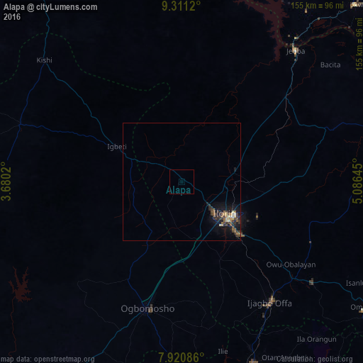
Analysis of Alapa night lights 2016
Square area 10x10 km:
100  0%
0%
90-99 0%
80-89 0%
70-79 0%
60-69 0%
50-59 0%
40-49 0%
30-39 0%
20-29 0%
10-19 0%
0-9 100%
0%90-99
0%80-89
0%70-79
0%60-69
0%50-59
0%40-49
0%30-39
0%20-29
0%10-19
0%0-9
100%Square area 50x50 km:
100 0%
90-99 0.21%
80-89 0.22%
70-79 0.15%
60-69 0.25%
50-59 0.45%
40-49 0.36%
30-39 0.74%
20-29 0.66%
10-19 1.6%
0-9 95.36%
0%90-99
0.21%80-89
0.22%70-79
0.15%60-69
0.25%50-59
0.45%40-49
0.36%30-39
0.74%20-29
0.66%10-19
1.6%0-9
95.36%Clear (daylight) street map image can be seen on geolist.org.
Map coordinates:
9° 18' 40.3" North, 3° 40' 48.7" East
8° 37' 0" North, 4° 22' 60" East
7° 55' 15.1" North, 5° 5' 11.2" East
Some cities around Alapa sort by population:
• Ilorin
22 km =13.7 mi,  127°
127°
• Igboho
73.2 km =45.5 mi,  289°
289°
• Offa
63.9 km =39.7 mi,  144°
144°
• Oyan
75.8 km =47.1 mi,  146°
146°
• Igbeti
31.4 km =19.5 mi,  297°
297°
• Jebba
73.9 km =45.9 mi,  40°
40°
• Bode Saadu
56.6 km =35.2 mi,  50°
50°
• Ajasse Ipo
63.9 km =39.7 mi, 131°
2350592 (p: 9,584)
Sources (retrieved 2019-11-25):
» Earth at Night: Flat Maps 2012, 2016