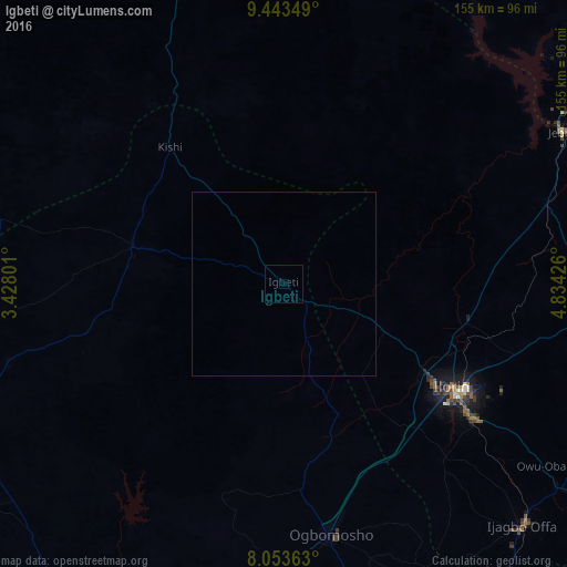
Igbeti night lights from space
Night Light of Igbeti (Oyo) from space (Nigeria) Src. Average luminocity for 10x10km area is 0% and for 50x50km: 0%.

Analysis of Igbeti night lights 2016
Square area 10x10 km:
100  0%
0%
90-99 0%
80-89 0%
70-79 0%
60-69 0%
50-59 0%
40-49 0%
30-39 0%
20-29 0%
10-19 0%
0-9 100%
0%90-99
0%80-89
0%70-79
0%60-69
0%50-59
0%40-49
0%30-39
0%20-29
0%10-19
0%0-9
100%Square area 50x50 km:
100 0%
90-99 0%
80-89 0%
70-79 0%
60-69 0%
50-59 0%
40-49 0%
30-39 0%
20-29 0%
10-19 0%
0-9 100%
0%90-99
0%80-89
0%70-79
0%60-69
0%50-59
0%40-49
0%30-39
0%20-29
0%10-19
0%0-9
100%Clear (daylight) street map image can be seen on geolist.org.
Map coordinates:
9° 26' 36.6" North, 3° 25' 40.8" East
8° 44' 57.2" North, 4° 7' 52.1" East
8° 3' 13.1" North, 4° 50' 3.3" East
Some cities around Igbeti sort by population:
• Ilorin
53.2 km =33.1 mi,  121°
121°
• Saki
81.5 km =50.6 mi,  263°
263°
• Kisi
48.1 km =29.9 mi,  320°
320°
• Igboho
42.4 km =26.3 mi,  283°
283°
• Jebba
86.5 km =53.7 mi,  61°
61°
• Bode Saadu
74.6 km =46.4 mi,  73°
73°
• Ago Are
83.3 km =51.8 mi,  250°
250°
• Alapa
31.4 km =19.5 mi, 117°
2338772 (p: 24,690)
Sources (retrieved 2019-11-25):
» Earth at Night: Flat Maps 2012, 2016