Ilorin night lights from space
Night Light of Ilorin (Kwara) from space (Nigeria) Src. Average luminocity for 10x10km area is 28.5517% and for 50x50km: 2.1036%.
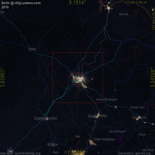
Analysis of Ilorin night lights 2016
Square area 10x10 km:
 0%
0%90-99
3.93%80-89
4.55%70-79
3.31%60-69
3.72%50-59
7.23%40-49
4.75%30-39
10.54%20-29
8.26%10-19
19.21%0-9
34.5%Square area 50x50 km:
0%90-99
0.21%80-89
0.22%70-79
0.15%60-69
0.28%50-59
0.52%40-49
0.4%30-39
0.74%20-29
0.72%10-19
1.77%0-9
94.99%Clear (daylight) street map image can be seen on geolist.org.
Map coordinates:
9° 11' 29" North, 3° 50' 20.4" East
8° 29' 47.9" North, 4° 32' 31.7" East
7° 48' 2.2" North, 5° 14' 42.9" East
Some cities around Ilorin sort by population:
• Ila Orangun
66.6 km =41.4 mi,  143°
143°
• Ikirun
66.4 km =41.3 mi,  168°
168°
• Offa
43.4 km =27 mi,  153°
153°
• Oyan
55.5 km =34.5 mi, 153°
• Igbeti
53.2 km =33.1 mi,  301°
301°
• Bode Saadu
55.8 km =34.7 mi,  28°
28°
• Ajasse Ipo
42.1 km =26.2 mi,  134°
134°
• Alapa
22 km =13.7 mi,  307°
307°
2337639 (p: 814,192)
Sources (retrieved 2019-11-25):
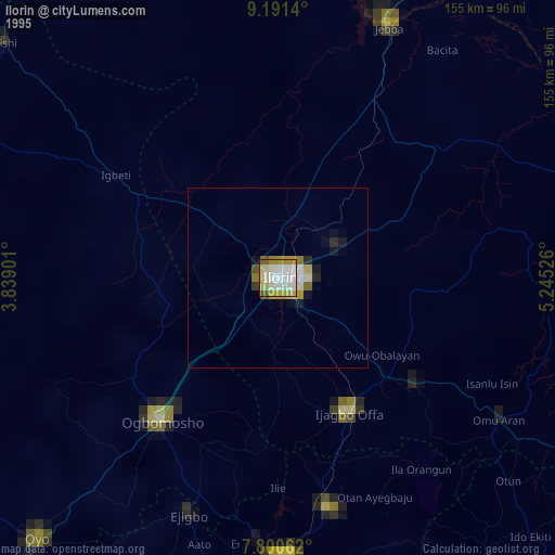
» NASA, Earths city lights 1995
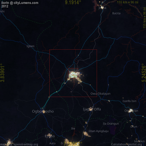
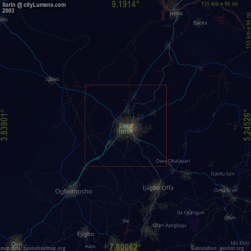
» NASA city lights 2003
» Earth at Night: Flat Maps 2012, 2016