Mberubu night lights from space
Night Light of Mberubu (Enugu) from space (Nigeria) Src. Average luminocity for 10x10km area is 0% and for 50x50km: 0.847%.
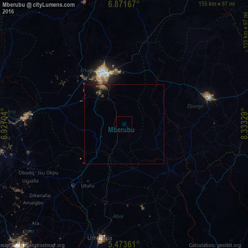
Analysis of Mberubu night lights 2016
Square area 10x10 km:
100  0%
0%
90-99 0%
80-89 0%
70-79 0%
60-69 0%
50-59 0%
40-49 0%
30-39 0%
20-29 0%
10-19 0%
0-9 100%
0%90-99
0%80-89
0%70-79
0%60-69
0%50-59
0%40-49
0%30-39
0%20-29
0%10-19
0%0-9
100%Square area 50x50 km:
100 0%
90-99 0%
80-89 0%
70-79 0.06%
60-69 0.2%
50-59 0.24%
40-49 0.21%
30-39 0.31%
20-29 0.28%
10-19 0.98%
0-9 97.72%
0%90-99
0%80-89
0%70-79
0.06%60-69
0.2%50-59
0.24%40-49
0.21%30-39
0.31%20-29
0.28%10-19
0.98%0-9
97.72%Clear (daylight) street map image can be seen on geolist.org.
Map coordinates:
6° 52' 18" North, 6° 55' 37.3" East
6° 10' 23.2" North, 7° 37' 48.6" East
5° 28' 25" North, 8° 19' 59.8" East
Some cities around Mberubu sort by population:
• Enugu
33.2 km =20.6 mi,  334°
334°
• Amaigbo
48.5 km =30.1 mi,  151°
151°
• Okigwe
49.2 km =30.6 mi,  218°
218°
• Afikpo
46 km =28.6 mi,  132°
132°
• Awgu
20.2 km =12.6 mi,  236°
236°
• Udi
28.1 km =17.5 mi,  304°
304°
• Amagunze
17.7 km =11 mi,  8°
8°
• Ake-Eze
29 km =18 mi,  169°
169°
2330369 (p: 8,904)
Sources (retrieved 2019-11-25):
» Earth at Night: Flat Maps 2012, 2016