Enugu night lights from space
Night Light of Enugu from space (Nigeria) Src. Average luminocity for 10x10km area is 65.2316% and for 50x50km: 5.791%.
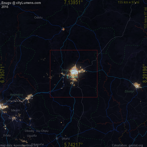
Analysis of Enugu night lights 2016
Square area 10x10 km:
 12.34%
90-99
17.32%80-89
8.87%70-79
10.17%60-69
11.69%50-59
6.28%40-49
8.44%30-39
7.14%20-29
12.34%10-19
5.41%0-9
0%Square area 50x50 km:
0.5%90-99
0.8%80-89
0.52%70-79
0.76%60-69
1.01%50-59
0.8%40-49
1%30-39
1.38%20-29
2%10-19
4.14%0-9
87.08%Clear (daylight) street map image can be seen on geolist.org.
Map coordinates:
7° 8' 22.2" North, 6° 47' 44.6" East
6° 26' 28.8" North, 7° 29' 55.8" East
5° 44' 31.8" North, 8° 12' 7.1" East
Some cities around Enugu sort by population:
• Aku
35.8 km =22.2 mi,  326°
326°
• Eha Amufu
37.6 km =23.4 mi,  49°
49°
• Awgu
41 km =25.5 mi,  183°
183°
• Udi
16.4 km =10.2 mi,  211°
211°
• Opi
38.6 km =24 mi,  349°
349°
• Amagunze
21 km =13 mi,  125°
125°
• Mberubu
33.2 km =20.6 mi,  154°
154°
• Ikem
44.6 km =27.7 mi,  32°
32°
2343279 (p: 688,862)
Sources (retrieved 2019-11-25):
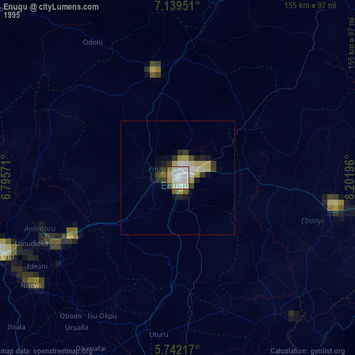
» NASA, Earths city lights 1995
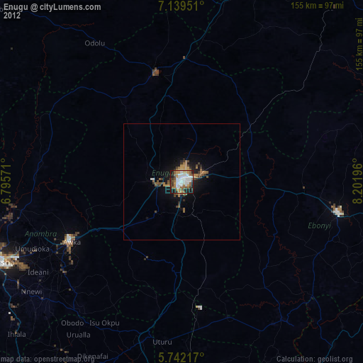
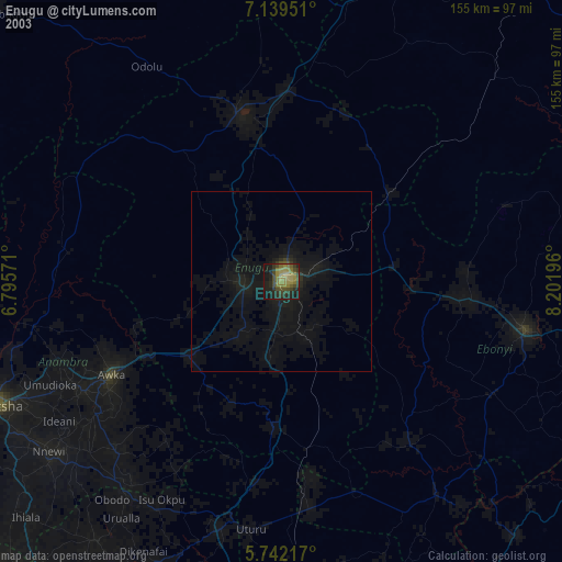
» NASA city lights 2003
» Earth at Night: Flat Maps 2012, 2016