Agulu night lights from space
Night Light of Agulu (Anambra) from space (Nigeria) Src. Average luminocity for 10x10km area is 0.4979% and for 50x50km: 2.2722%.
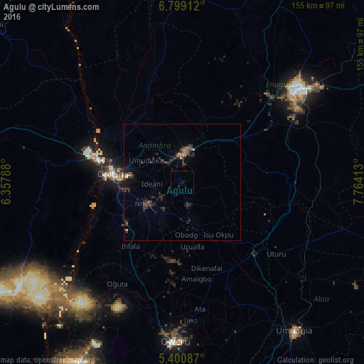
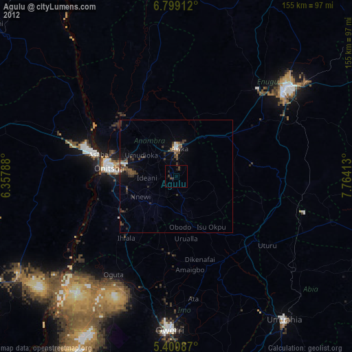
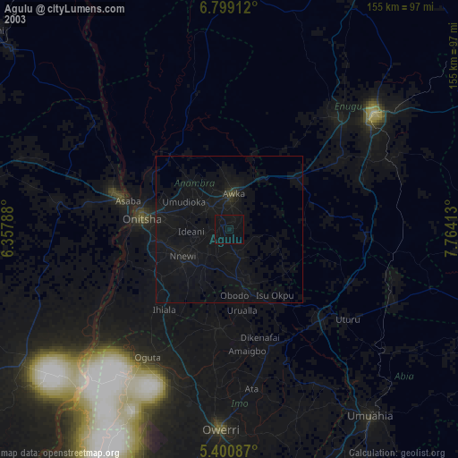
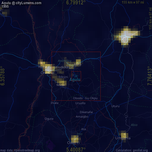
Analysis of Agulu night lights 2016
Square area 10x10 km:
 0%
0%90-99
0%80-89
0%70-79
0%60-69
0%50-59
0%40-49
0%30-39
0%20-29
0.83%10-19
0.62%0-9
98.55%Square area 50x50 km:
0%90-99
0.1%80-89
0.12%70-79
0.06%60-69
0.27%50-59
0.39%40-49
0.57%30-39
1.37%20-29
1.16%10-19
1.44%0-9
94.51%Clear (daylight) street map image can be seen on geolist.org.
Map coordinates:
6° 47' 56.8" North, 6° 21' 28.4" East
6° 6' 1.6" North, 7° 3' 39.6" East
5° 24' 3.1" North, 7° 45' 50.9" East
Some cities around Agulu sort by population:
• Onitsha
30.9 km =19.2 mi,  280°
280°
• Nnewi
18.3 km =11.4 mi,  240°
240°
• Awka
12.5 km =7.8 mi,  5°
5°
• Nkpor
26.1 km =16.2 mi, 282°
• Igbo-Ukwu
10.2 km =6.3 mi,  206°
206°
• Ozubulu
28 km =17.4 mi, 235°
• Enugu-Ukwu
10 km =6.2 mi,  322°
322°
• Uga
18.4 km =11.4 mi,  173°
173°
2351740 (p: 79,021)
Sources (retrieved 2019-11-25):
» NASA, Earths city lights 1995
» NASA city lights 2003
» Earth at Night: Flat Maps 2012, 2016