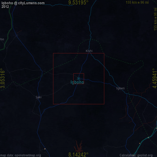
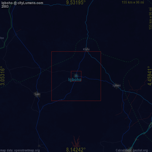
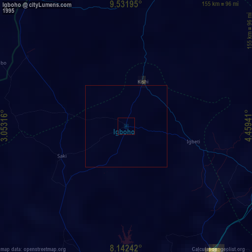
Igboho night lights from space
Night Light of Igboho (Oyo) from space (Nigeria) Src. Average luminocity for 10x10km area is 0% and for 50x50km: 0%.
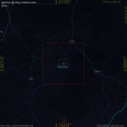
Analysis of Igboho night lights 2016
Square area 10x10 km:
 0%
0%90-99
0%80-89
0%70-79
0%60-69
0%50-59
0%40-49
0%30-39
0%20-29
0%10-19
0%0-9
100%Square area 50x50 km:
0%90-99
0%80-89
0%70-79
0%60-69
0%50-59
0%40-49
0%30-39
0%20-29
0%10-19
0%0-9
100%Clear (daylight) street map image can be seen on geolist.org.
Map coordinates:
9° 31' 55" North, 3° 3' 11.4" East
8° 50' 16.2" North, 3° 45' 22.6" East
8° 8' 32.7" North, 4° 27' 33.9" East
Some cities around Igboho sort by population:
• Saki
44.1 km =27.4 mi,  244°
244°
• Kisi
29.2 km =18.1 mi,  21°
21°
• Okuta
75.7 km =47 mi,  303°
303°
• Igbeti
42.4 km =26.3 mi,  103°
103°
• Kaiama
87.7 km =54.5 mi,  13°
13°
• Ago Are
53 km =32.9 mi,  224°
224°
• Alapa
73.2 km =45.5 mi,  109°
109°
• Gwasero
77.1 km =47.9 mi,  338°
338°
2338711 (p: 136,764)
Sources (retrieved 2019-11-25):
» NASA, Earths city lights 1995
» NASA city lights 2003
» Earth at Night: Flat Maps 2012, 2016