Tchintabaraden night lights from space
Night Light of Tchintabaraden (Tahoua) from space (Niger) Src. Average luminocity for 10x10km area is 0% and for 50x50km: 0%.
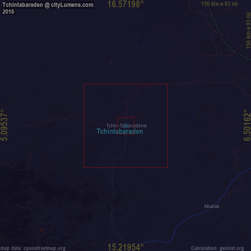
Analysis of Tchintabaraden night lights 2016
Square area 10x10 km:
 0%
0%90-99
0%80-89
0%70-79
0%60-69
0%50-59
0%40-49
0%30-39
0%20-29
0%10-19
0%0-9
100%Square area 50x50 km:
0%90-99
0%80-89
0%70-79
0%60-69
0%50-59
0%40-49
0%30-39
0%20-29
0%10-19
0%0-9
100%Clear (daylight) street map image can be seen on geolist.org.
Map coordinates:
16° 34' 19.1" North, 5° 5' 43.3" East
15° 53' 48.8" North, 5° 47' 54.6" East
15° 13' 10.3" North, 6° 30' 5.8" East
Some cities around Tchintabaraden sort by population:
• Tahoua
125.6 km =78 mi,  206°
206°
• Birni N Konni
240.9 km =149.7 mi,  194°
194°
• Madaoua
203.5 km =126.4 mi,  175°
175°
• Dakoro
185.8 km =115.5 mi,  146°
146°
• Illéla
170.4 km =105.9 mi,  200°
200°
• Abalak
71.5 km =44.4 mi,  133°
133°
• Keïta
127 km =78.9 mi, 181°
• Bouza
166 km =103.1 mi,  170°
170°
2438974 (p: 8,851)
Sources (retrieved 2019-11-25):
» Earth at Night: Flat Maps 2012, 2016