Bouza night lights from space
Night Light of Bouza (Tahoua) from space (Niger) Src. Average luminocity for 10x10km area is 0% and for 50x50km: 0%.
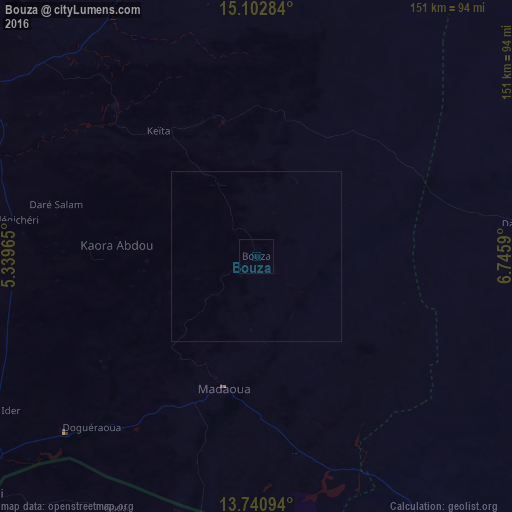
Analysis of Bouza night lights 2016
Square area 10x10 km:
 0%
0%90-99
0%80-89
0%70-79
0%60-69
0%50-59
0%40-49
0%30-39
0%20-29
0%10-19
0%0-9
100%Square area 50x50 km:
0%90-99
0%80-89
0%70-79
0%60-69
0%50-59
0%40-49
0%30-39
0%20-29
0%10-19
0%0-9
100%Clear (daylight) street map image can be seen on geolist.org.
Map coordinates:
15° 6' 10.2" North, 5° 20' 22.7" East
14° 25' 22.5" North, 6° 2' 34" East
13° 44' 27.4" North, 6° 44' 45.2" East
Some cities around Bouza sort by population:
• Tahoua
98 km =60.9 mi,  301°
301°
• Birni N Konni
110.3 km =68.5 mi,  230°
230°
• Madaoua
39.9 km =24.8 mi,  192°
192°
• Dakoro
78.4 km =48.7 mi,  82°
82°
• Illela, NG
111.3 km =69.2 mi, 226°
• Illéla
86.1 km =53.5 mi,  272°
272°
• Goronyo, NG
116.1 km =72.1 mi,  200°
200°
• Keïta
46.9 km =29.1 mi,  322°
322°
2446466 (p: 7,141)
Sources (retrieved 2019-11-25):
» Earth at Night: Flat Maps 2012, 2016